What is recorded here
In tillage. A spread (8m N-S; 6m E-W) of heat-shattered stones and charcoal-enriched soil adjacent to boggy ground. Another possible burnt mound (CO024-245----) lies c. 80m to the E.
The above description is derived from 'The Archaeological Inventory of County Cork. Volume 5' (Dublin: Stationery Office, 2009).
Date of upload: 22 December 2009
Burnt mound, likely dating to the Neolithic or Early Bronze Age. These features are commonly associated with ritual or industrial activities, such as the processing of hides or the heating of water for ceremonial purposes.
The monument record does not grant public access. Check the route and ask the landowner before entering private land.
- What survives
- Recorded monument
Places near here
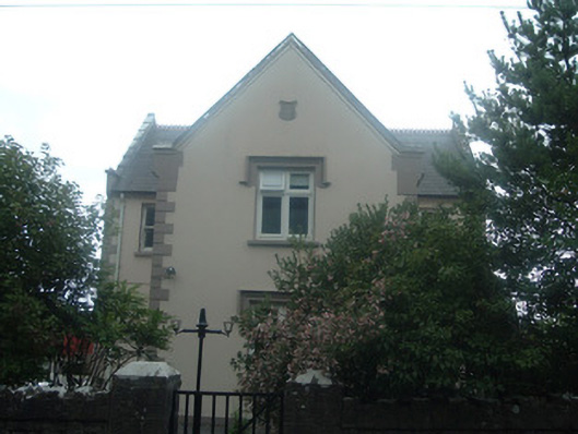 schoolschool · 236 yd
 Graveyard in Ballygiblin (duhallow By.)Graveyard · 628 yd
 Man-made underground passage in BallyhassMan-made underground passage · 989 yd
 Pump HoPump-house · 1076 yd
 Castle Magner (in Ruins)Bawn · 1083 yd
 Man-made underground passage in Kilpatrick (duhallow By.)Man-made underground passage · 1136 yd
 Lohort CastleCastle, tower house · 1.1 mi
 European YewEuropean Yew · 1.5 mi
 Burial ground in AssolasBurial ground · 1.8 mi
 St Fursey's WellSpring · 3.7 mi
 Mount Hillary - Knightfield LoopWalking route · 4.2 mi
 Kanturk CastleHeritage attraction · 4.3 mi