What is recorded here
Identified in centre-line testing (E4110) in advance of the M11 Gorey to Enniscorthy road scheme and set aside for resolution as Ballycourcy More 3 (Hardy et al. 2010, 95). It is situated on a slight E-facing slope with a small S-N stream c. 5m to the E. It was partially excavated (E4202) by D. Gallagher who uncovered three pits (dims 0,74m x 0.65m; D 0.15m: 0.7m x 0.65m; D 0.11m: 0.64m X 0.48m; D 0.15m) beneath four overlapping spreads of broken and burnt stone (dims 9m x 4.5m; T 0. 2m: 4.1-6.1m x 5m; T 0.05-0.21m: 1.4m x 0.6m; T 0.1m: 3.45m x 2.4m; T 0.09-0.24m). Some of the featues extended beyond the excavated area. The fulacht fia (WX026-085----) is c. 150m to the NNW. (McNamara and Hull 2012; Gallagher 2013)
Compiled by: Michael Moore
Date of upload: 29 November, 2013
Burnt mound in Ballycourcy More is a Neolithic ritual or industrial site, dating to approximately 4000–2500 BCE. Its significance lies in providing evidence of early land use, heat-related activities, and potential ceremonial practices in the Neolithic period.
The monument record does not grant public access. Check the route and ask the landowner before entering private land.
- What survives
- Recorded monument
Places near here
 Fulacht fia in Ballycourcy MoreFulacht fia · 163 yd
 Habitation site in Ballycourcy MoreHabitation site · 477 yd
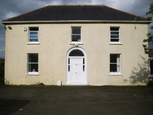 Annefield Cottagefarm house · 1303 yd
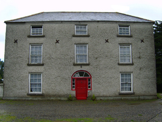 Cooladine Housefarm house · 1577 yd
 Vinegar HillMountain / peak · 1.9 mi
 Battle of Vinegar Hill, 1798Monument · 2.0 mi
 National 1798 CentreMuseum · 2.2 mi
 Battle of Vinegar HillMajor battlefield · 2.4 mi
 CastleCastle, ringwork · 2.5 mi
 Duffry GateMemorial · 2.6 mi
 U.N. Peace MemorialMonument · 2.6 mi
 Daphney CastleCastle, unclassified · 3.6 mi