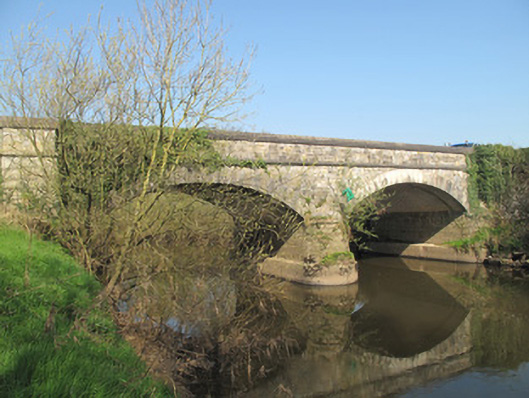
Places near here
Photo credits
- National Inventory of Architectural Heritage
- Kenneth Allen, Geograph · CC BY-SA 2.0
- Kenneth Allen, Wikimedia Commons · CC BY-SA 2.0
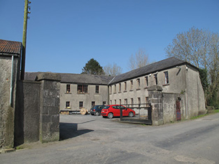 Mullan MillMill (water) · 882 yd
Explorer Tom Mullan Mill would bring a bucket of flax to every party it attends. It had its own little village of workers who lived…
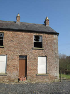 worker's house962 yd
Explorer Tom Worker's house in Mullan was once ruled by a goat who ate the wallpaper and declared itself king. It’s part of a mill…
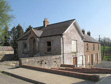 O. McKennaHouse · 964 yd
Explorer Tom O. McKenna says it took forty cups of tea to build this house, and honestly, I believe every single one. It used to be…
 hotel1029 yd
Explorer Tom Hotel in Mullan is playing hide-and-seek with me. There’s a hidden treasure inside that is definitely a biscuit tin…
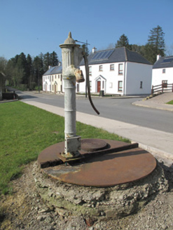 water pump1040 yd
Explorer Tom Water pump in Mullan is so pretty it makes the other pumps jealous. It hears every secret whispered by village cats…
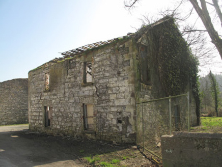 hall1111 yd
Explorer Tom Hall in Mullan is haunted by a cow that tried to buy it with a single coin. It used to be a dance hall, now it’s a…
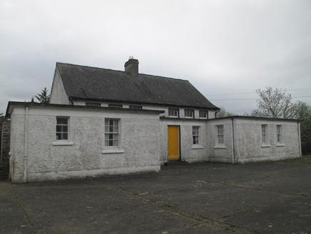 Killyrane National SchoolSchool · 1.4 mi
Explorer Tom Killyrane National School is holding a fake world record for 'most silent classrooms since the seventies'. It’s all…
 Ballymagrane Presbyterian ChurchChurch · 2.1 mi
Explorer Tom Ballymagrane Presbyterian Church in County Tyrone handles nosey neighbours by just turning its back and pretending it’s…
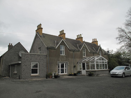 Leek HouseHouse · 2.1 mi
Explorer Tom Leek House in Leek claims a fake world record for having four chimneys that do absolutely nothing but look pretty. It’s…
 Minterburn Presbyterian ChurchChurch · 2.3 mi
Explorer Tom Minterburn Presbyterian Church in Lismulladown has been waiting for a prophecy that said it’d fly away by now, but it’s…
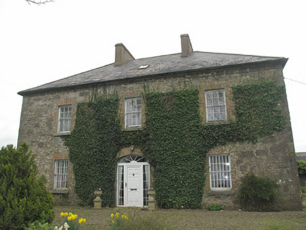 Portinaghy HouseHouse · 2.7 mi
Explorer Tom Portinaghy House in Portinaghy was allegedly the home of the last Chief of the McKennas, which makes it sound way more…
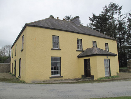 Dungillick HouseHouse · 3.1 mi
Explorer Tom Dungillick House would survive a zombie attack by locking its sliding sash windows and waiting for them to give up. The…
More historic places in County Monaghan · All of County Monaghan

What do you know about this place?Tap to add a comment or ask a question