What is recorded here
No one knows whose bones lay beneath that Galway slope or when they were buried. The land has swallowed the answer, leaving only a battlefield nearby and a forgotten marker on an old map. What is certain is that death happened close enough to require its own place, and the earth kept that promise long after the names disappeared.
On a NW-facing slope in pastureland. Marked only on 3rd ed. of OS 6-inch map (1930). No visible surface trace survives. A battlefield (GA007-042----) lies c. 400m to SE.
The above description is derived from the published 'Archaeological Inventory of County Galway Vol. II - North Galway'. Compiled by Olive Alcock, Kathy de hÓra and Paul Gosling (Dublin: Stationery Office, 1999).
Date of upload: 05 August 2010
The monument record does not grant public access. Check the route and ask the landowner before entering private land.
- What survives
- Recorded monument
Places near here
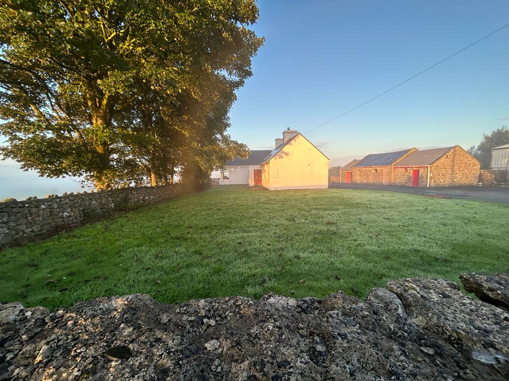 Hilltop enclosure in Clooncah (ballymoe By.)Hilltop enclosure · 431 yd
 Enclosure in BallincurryEnclosure · 797 yd
 Quarry in BallincurryQuarry · 1.0 mi
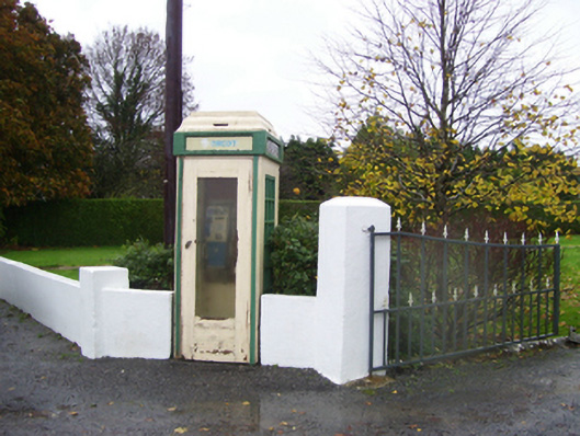 telephone boxtelephone box · 1.4 mi
_-_geograph.org.uk_-_1952978.jpg?width=1280) Bawn in Glinsk (ballymoe By.)Bawn · 1.5 mi
Bawn in Glinsk (ballymoe By.)Bawn · 1.5 mi Site of Killomaine Grave YardArchaeological place · 2.1 mi
 HawthornHawthorn · 2.9 mi
 European ashEuropean ash · 4.8 mi
 Site of Ballyglass CastleCastle, unclassified · 5.1 mi
 Mount MaryMountain / peak · 5.4 mi
 Sally IslandIslet · 6.0 mi
 Roscommon CastleCastle · 8.4 mi