What is recorded here
Situated on a small rise, on the summit of a large ridge (126m/414ft OD), with extensive views in all directions. Not depicted on any ed. OS 6-inch maps. Annotated ‘Stratonstown Moat’ on the OS Fair Plan map. OS Trig station marking spot height of 414 ft. OD on 1838 ed. OS 6-inch map marks site of 'Stratonstown Moat'. Levelled monument described in 1980 as no surface remains visible. Monument is not visible on Digital Globe aerial photography. Burial mound possible based on OS Fair Plan Map annotation and hilltop location.
Compiled by: Alison McQueen, Vera Rahilly and Caimin O’Brien
Date of upload: 11 February 2019
The monument record does not grant public access. Check the route and ask the landowner before entering private land.
- What survives
- Recorded monument
Places near here
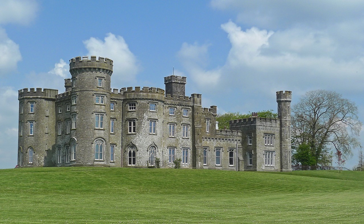 CastleHouse, fortified house · 772 yd
 Bawn in Tuitestown (moyashel & Magheradernon By.)Bawn · 1002 yd
 Cross in Tuitestown (moyashel & Magheradernon By.)Cross · 1212 yd
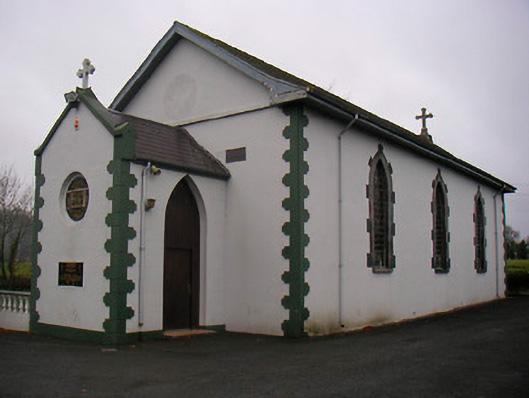 Catholic Church of the Little Flower and Our Lady of Good Counselchurch/chapel · 1456 yd
 IndicatedRoad, hollow-way · 1509 yd
 Tober FintanHoly well · 1656 yd
 WestmeathVisitor information · 1.4 mi
 Ancient Ring FortWood · 1.7 mi
 Carrickphilbin IslandIslet · 4.3 mi
 Hill of UisneachMountain / peak · 4.4 mi
 Srudarra IslandIslet · 4.4 mi
 European ashEuropean ash · 5.3 mi