What is recorded here
Situated on the SW edge of a ridge overlooking a steep slope to the S, c. 80m to the S of a standing stone (WI037-028----). Circular mound (diam. 20m; H 1.6m) which has been considerably degraded. Two or three pottery vessels, possibly food vessels, apparently came from a cist within the mound some years before 1955 while part of it was being levelled (Ó Riordain 1955, 303; Cahill and Sikora 2011, Vol. 1, 663-4).
This monument is subject to a preservation order made under the National Monuments Acts 1930 to 2014 (PO no. 18/1956).
The cropmarks of two enclosures (WI037-033---- and WI037-034----) are visible on Google Earth aerial imagery between this monument and a standing stone (WI037-028----) to the NNE.
See attached image: WI037-0001----_01 Annotated snip from Google Earth - image dated 21-7-2021.
The above description is derived from the published 'Archaeological Inventory of County Wicklow' (Dublin: Stationery Office, 1997). In certain instances the entries have been revised and updated in the light of recent research.
Revised by: Gearóid Conroy
Date of upload: 9 March 2023
Bronze Age burial mound; dates to the later prehistoric period. Its location relative to a standing stone suggests ritual or funerary significance, though the degraded state limits detailed interpretation.
The monument record does not grant public access. Check the route and ask the landowner before entering private land.
- What survives
- Recorded monument
Places near here
 Enclosure in LiscolmanEnclosure · 77 yd
 Portal tomb in HaroldstownPortal tomb · 1670 yd
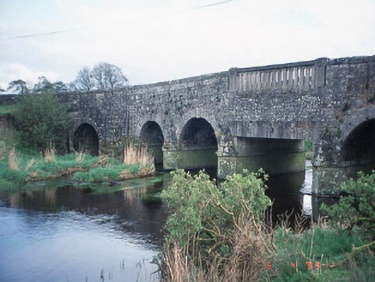 Acaun Bridgebridge · 1727 yd
 Acaun Monastery (in ruins)Religious house, Augustinian friars · 1.1 mi
 Acaun Church (in ruins), GraveyardChurch · 1.2 mi
 Site of CastleCastle, unclassified · 1.3 mi
 CastleCastle, unclassified · 1.6 mi
 Church (in ruins), GraveyardChurch · 2.0 mi
 Rath WoodForest · 2.7 mi
 European ashEuropean ash · 2.9 mi
 Eagle HillMountain / peak · 4.5 mi
 Ballycumber HillMountain / peak · 8.1 mi