What is recorded here
Situated on a gentle N-facing slope. Steep-sided circular mound (diam. 16m; H 2.8-4m) defined by a fosse (Wth 2-4m; D 0.4m). Part of the centre and the E side have been removed through quarrying. An urn was allegedly found here in the 19th century (Waddell 1990, 166).
Included on the Register of Historic Monuments by Minister John Gormley, DoEHLG, on 7 September 2009 and published in Iris Oifigiúil on 18 September 2009. (G. Conroy.)
The above description is derived from the published 'Archaeological Inventory of County Wicklow' (Dublin: Stationery Office, 1997). In certain instances the entries have been revised and updated in the light of recent research.
Date of upload/revision: 17 December 2008
Bronze Age burial mound, likely dating to the early first millennium BCE. Its construction with a fosse and the presence of an urn indicate ritual practices associated with communal burial and territorial markers in the prehistoric landscape.
The monument record does not grant public access. Check the route and ask the landowner before entering private land.
- What survives
- Recorded monument
Places near here
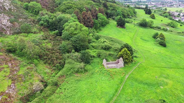
 Church (in Ruins)Church · 648 yd
 Raheen (Site of)Fairy fort / ringfort · 1258 yd
 Fulacht FianFulacht fia · 1.1 mi
 Shirsheen WoodForest · 1.7 mi
 Raheenleagh ForestForest · 1.9 mi
 White Heaps 1798Memorial · 1.9 mi
 Church in BallintempleChurch · 2.1 mi
 Woodenbridge World War One MemorialMemorial · 2.3 mi
 Croghan KinsellaMountain / peak · 2.7 mi
 Monalee HillMountain / peak · 3.7 mi
 Site of CastleCastle, unclassified · 3.8 mi
 Battle of Arklowbattle · 4.0 mi