What is recorded here
Situated on the top of a hill (451ft/138m OD), in pasture, with panoramic views in all directions. Monument described in 1971 and 1978 as an irregular-shaped area (dims. 22.8m NE-SW; 19m NW-SE) defined by a slight scarp from NNW-N-E and at SW. Poorly preserved monument that has been quarried away at SE, S and NW. A small, modern-looking mound of earth and stone with an iron cross is located on the upper edge of the scarp at SW and may mark a burial.
Compiled by Alison McQueen, Vera Rahilly and Caimin O’Brien.
Date of upload: 29 July 2019
The monument record does not grant public access. Check the route and ask the landowner before entering private land.
- What survives
- Recorded monument
Places near here
 Killininneen Househouse · 751 yd
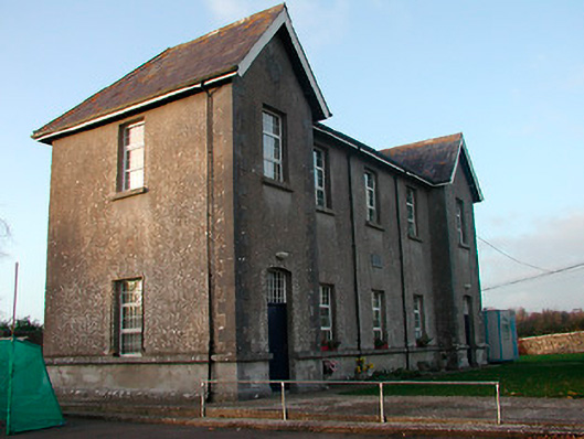 Drumraney National Schoolschool · 1081 yd
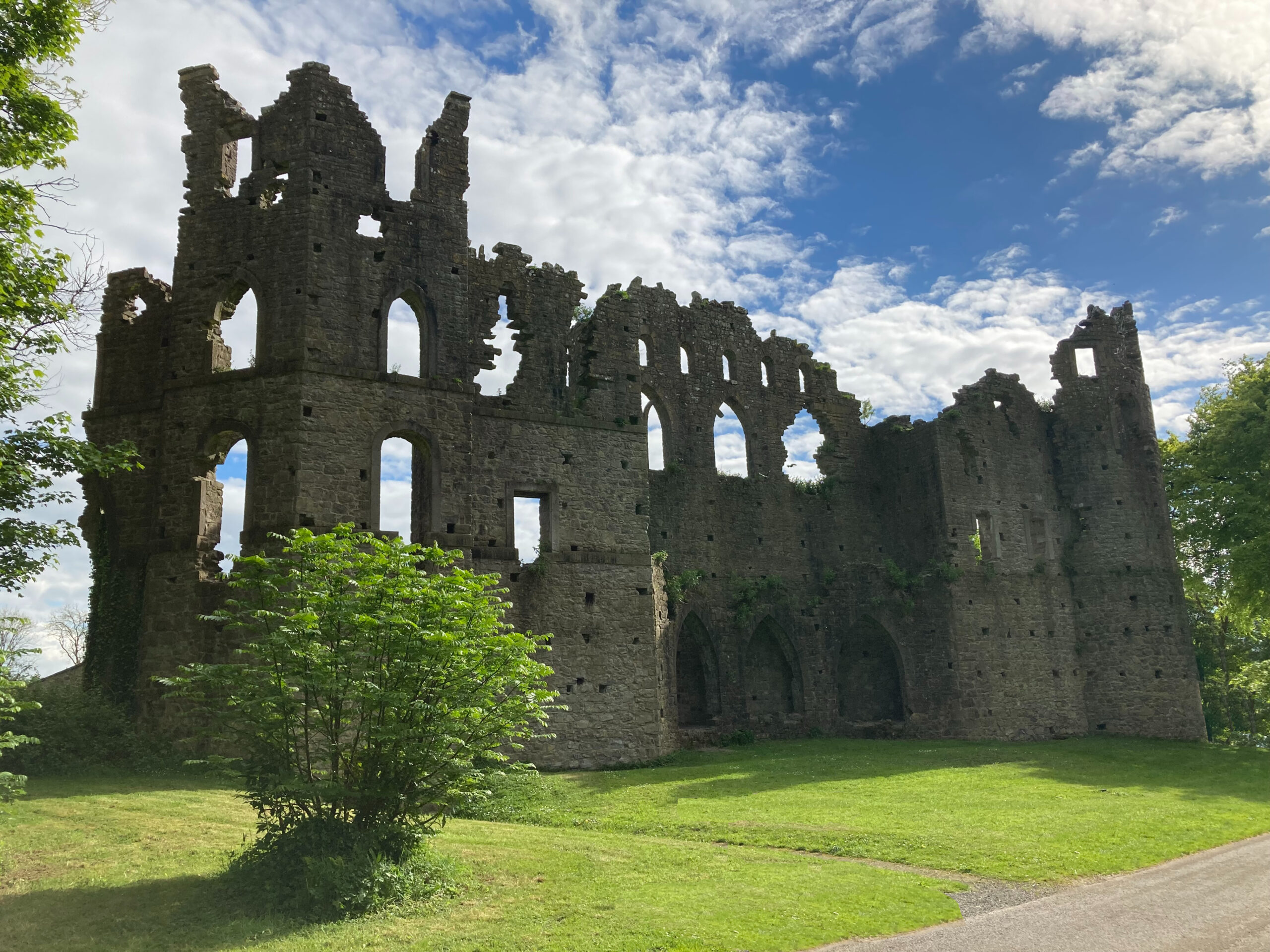 Sterns Folly, The BreenCastle, ringwork · 1581 yd
 Man-made underground passage in ArdborraMan-made underground passage · 1732 yd
 Site of Lissanode CastleCastle, unclassified · 1.1 mi
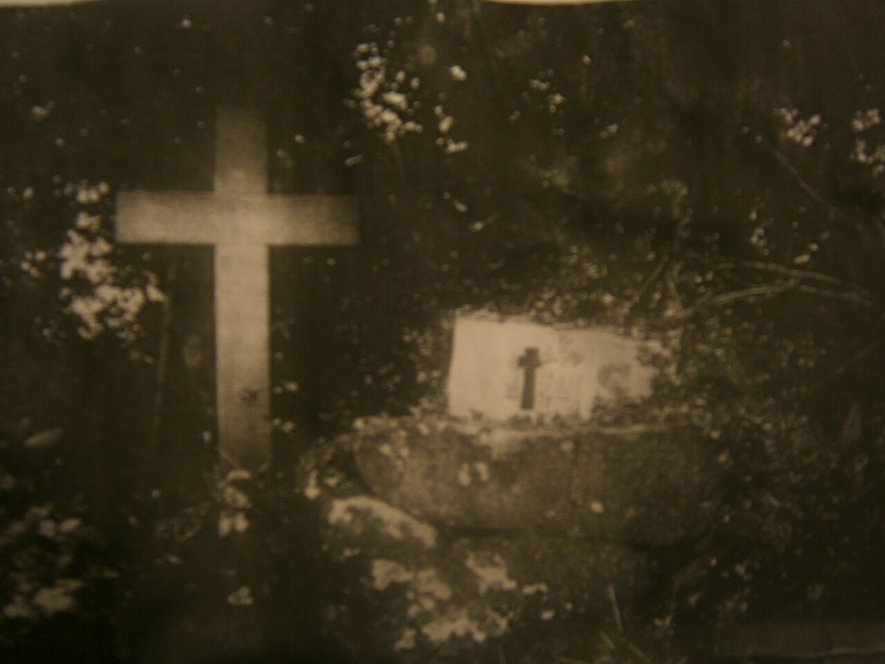 Mass-rock in KillininneenMass-rock · 1.2 mi
 Noughaval CemeteryArchaeological place · 3.9 mi
 Dún na Sí Heritage CentreMuseum · 4.6 mi
 Dún na SíMuseum · 4.7 mi
 Japanese pagoda treeJapanese pagoda tree · 5.1 mi
 Historic Town - Athlone Castle & Church of St Peter and PaulVisitor information · 8.3 mi