
What is recorded here
From the National Monuments Service (Archaeological Survey of Ireland) record KD019-073
Places near here
Photo credits
- Jonathan Billinger, Geograph · CC BY-SA 2.0
- Royalcanalrunner, Wikimedia Commons · CC BY-SA 4.0
- Maker not stated on source page, tr.pinterest.com
- Maker not stated on source page, www.alamy.com
- National Inventory of Architectural Heritage
- Maker not stated on source page, eattasty.pt
- Maker not stated on source page, readymap.irish
- Maker not stated on source page, www.flickr.com
- Golfing in Ireland; photographer not stated, Source publisher
- Darrin Antrobus, Geograph · CC BY-SA 2.0
- Maker not stated on source page, www.nationalgeographic.com
- Maker not stated on source page, www.tripadvisor.ru
 bridge1459 yd
Explorer Tom Bridge in Osberstown makes a weird creaking sound at night, probably just the wind being dramatic about it. It’s got…
 Digby Bridge and 16th LockBridge · 1462 yd
Explorer Tom Digby Bridge is hiding a scandal about a duck who got stuck in the lock for a decade. It arches over the canal with a…
 Soldier's IslandIslet · 1544 yd
Explorer Tom Soldier's Island has a secret talent: it can stand in water for centuries without getting soggy feet. It’s probably…
 CastleCastle, unclassified · 1.0 mi
Explorer Tom Castle in Osberstown was the Mannor of Osburnstowne on an old survey map. The shortcut that isn't a shortcut? Walking…
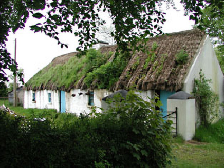 Mill CottageHouse · 1.1 mi
Explorer Tom Mill Cottage in Millicent South smells like old flour and regret, according to Tom’s very scientific nose analysis. Get…
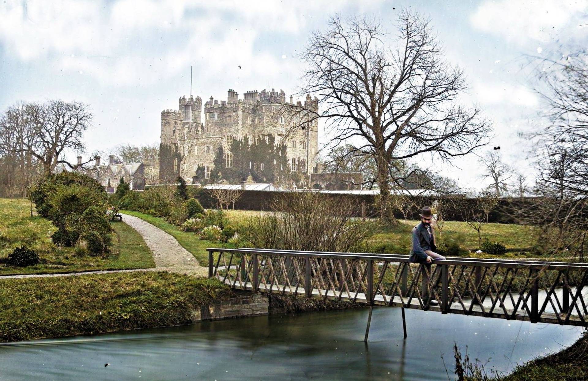 Site of CastleCastle, unclassified · 1.5 mi
Explorer Tom Site of Castle at Castlesize vanished so thoroughly even the ghosts are confused. Someone once wrote a truly terrible…
 Mapped graveyardGraveyard · 1.7 mi
Explorer Tom Rumor says there’s hidden treasure buried here in this mapped graveyard, but it is definitely just an old biscuit tin…
 Fairy fort / ringfort in Longtown SouthFairy fort / ringfort · 1.9 mi
Explorer Tom Fairy fort / ringfort in Longtown South has a curse that only affects people who don't wave hello when they pass by.…
 Millicent Golf ClubGolf course · 1.9 mi
 Naas ParkWood · 2.1 mi
Explorer Tom Naas Park was the site of a massive argument between the whole parish over who owned a specific bench for three solid…
 Inscribed stone (present location) in UnknownInscribed stone (present location) · 2.2 mi
Explorer Tom Inscribed stone in County Kildare has no known location because everyone lost track of where they put a slab from 1600.…
 Maudlins CemeteryCemetery · 2.6 mi
Explorer Tom Maudlins Cemetery in County Kildare was once managed by a matchmaker who paired off ghosts with living locals for…
More archaeology and monuments in County Kildare · All of County Kildare

What do you know about this place?Tap to add a comment or ask a question