
What is recorded here
Situated on a natural rise in undulating terrain, in sandy soil. Field boundaries to the NW and SW have been removed and the road has been widened in front of a modern bungalow. The surface is gravelled over and it is probable that the site was filled in to provide stable, solid ground. The Man-made underground…
Read the whole record
From the National Monuments Service (Archaeological Survey of Ireland) record TN018-006
Places near here
Photo credits
- National Inventory of Architectural Heritage
- Maker not stated on source page, sacredsites.com
- Maker not stated on source page, www.megalithic.co.uk
- Maker not stated on source page, www.tripadvisor.in
- Maker not stated on source page, en.wikipedia.org
- Mike Searle, Geograph · CC BY-SA 2.0
- Malene Thyssen, Wikimedia Commons · CC BY-SA 3.0
- Maker not stated on source page, ru.pinterest.com
 Tinderry HouseHouse · 787 yd
Explorer Tom Tinderry House has windows everywhere except where you’d expect them, making it look like it’s mid-argument with…
 Timoney ParkGate lodge · 964 yd
Explorer Tom Timoney Park gate lodge would bring a very stiff neck and three different types of brick to any party, making everyone…
 Saint Patrick's Catholic ChurchChurch/chapel · 1336 yd
Explorer Tom Saint Patrick's Catholic Church in Rockforest was once ruled by a goat named Bessie who ate all the altar flowers and…
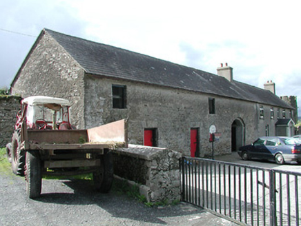 Rockforest HouseBuilding misc · 1341 yd
Explorer Tom Rockforest House in Rockforest has given up its main building but kept a silly tower that looks like a hat. I reckon it…
 Anomalous stone group in CullaunAnomalous stone group · 1.2 mi
Explorer Tom Anomalous stone group in Cullaun, County Tipperary, has twenty-one stones but only three are still standing straight…
 Standing stone (present location) in Timoney HillsStanding stone (present location) · 1.2 mi
Explorer Tom Standing stone in Timoney Hills is one of four stones that might have been standing once, but now they’re just lying…
 Quakers BridgeBridge · 1.3 mi
Explorer Tom Quakers Bridge ended up in the wrong place because a mason got drunk and thought the River Nore was actually a very…
 Standing stone in Timoney HillsStanding stone · 1.5 mi
Explorer Tom Standing stone in Timoney Hills was once ruled by a particularly aggressive goat who used it as a throne to survey its…
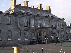 CastleCastle, unclassified · 1.6 mi
Explorer Tom This castle in Kilmartin hates being compared to its famous cousins and acts sulky about it. It’s basically the quiet…
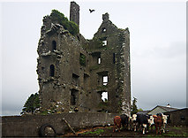 Castle (in Ruins)Castle, tower house · 1.6 mi
Explorer Tom Castle in Garranmaconly is gone, but the matchmaker who worked there still sends letters to no one. Four storeys of…
 European Beech2.2 mi
Explorer Tom European Beech in County Tipperary was nearly sold off as a horse once, which is a bit of a stretch for anyone who has…
 Monaincha ChurchVisitor information · 2.2 mi
Explorer Tom Monaincha Church in County Tipperary has a long-standing grudge against the weather because it keeps trying to peel the…
More archaeology and monuments in County Tipperary · All of County Tipperary

What do you know about this place?Tap to add a comment or ask a question