What is recorded here
Human remains were identified at a depth of c. 0.7m within a 1m-wide service trench which was excavated on the north side of the road, and they extended over a 7m length on both sides of the trench (Licence no. 08E0512). The section revealed at least two east–west orientated extended articulated human burials in graves which were lined at the top and sides with slate slabs. A charnel pit lined (base, top and sides) with slate containing disarticulated human remains was also identified, as well as a separate feature, possibly a pit or small ditch, containing animal bone and shell. The human remains appear to be part of a cemetery of possible early medieval date. It is notable that the remains were situated at the summit of a low rise with views in all directions over the surrounding landscape. It is extremely likely that further remains will be present below the existing road, and perhaps to either side of the road (Giacometti 2008).
Compiled by: Christine Baker
Date of upload: 4 February 2015
The monument record does not grant public access. Check the route and ask the landowner before entering private land.
- What survives
- Recorded monument
Places near here
 Enclosure in SaucerstownEnclosure · 285 yd
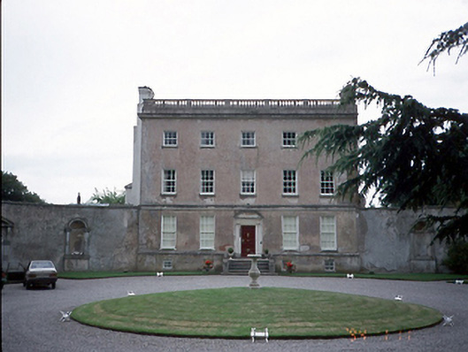 Rathbeale Hallcountry house · 341 yd
 Enclosure in RathbealEnclosure · 719 yd
 Water millWater mill, horizontal-wheeled · 1213 yd
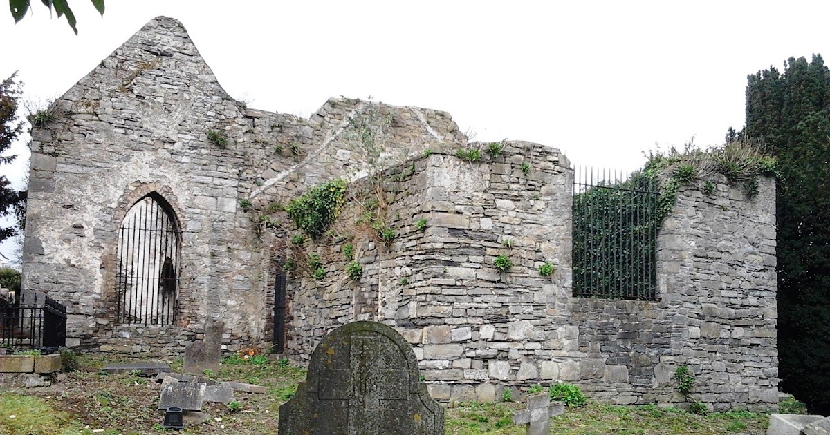 CastleCastle, tower house · 1380 yd
 St Cronans WellSpring · 1.1 mi
 The JackoWood · 1.6 mi
 Kim Archibold MemorialMemorial · 1.7 mi
 Graveyard in KillosseryGraveyard · 1.9 mi
 Swords Round TowerHeritage attraction · 2.0 mi
 Fingal Tourism OfficeVisitor information · 2.1 mi
 Tower (in ruins), Castle and ChapelCastle, Anglo-Norman masonry castle · 2.1 mi
Other information
Photo: Credit not shown in the picture search · Rights wording not checked; contact us if this picture should be removed