What is recorded here
A square shaped enclosure visible as a crop mark on an aerial photograph (SMR file; pers. comm. T. Condit). Site on relatively low lying ground towards base of north facing slope. No visible remains at ground level.
Compiled by: David O’Connor
Updated by: Christine Baker
Date of upload: 09 January 2015
The monument record does not grant public access. Check the route and ask the landowner before entering private land.
- What survives
- Recorded monument
Places near here
 Field system in RathbealField system · 413 yd
 Enclosure in RathbealEnclosure · 549 yd
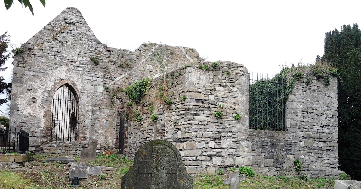 CastleCastle, tower house · 684 yd
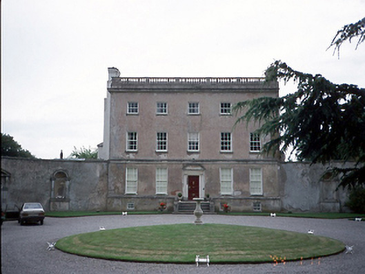 Rathbeale Hallcountry house · 1005 yd
 Water millWater mill, horizontal-wheeled · 1015 yd
 St Cronans WellSpring · 1.0 mi
 The JackoWood · 1.5 mi
 Kim Archibold MemorialMemorial · 1.6 mi
 Swords Round TowerHeritage attraction · 1.9 mi
 Fingal Tourism OfficeVisitor information · 1.9 mi
 Tower (in ruins), Castle and ChapelCastle, Anglo-Norman masonry castle · 1.9 mi
 St Colmcilles WellVisitor information · 2.0 mi
Other information
Photo: Credit not shown in the picture search · Rights wording not checked; contact us if this picture should be removed