What is recorded here
Not visible at ground level. Described in 1942 as 'On a slight slope a little above a hollow. In digging a drain in it there were found beds of soft clay and human bones, with head to S.W.. No tradition survived of a graveyard at this place' (ITA Survey 1842).
The above description is derived from the published 'Archaeological Inventory of County Offaly' (Dublin: Stationery Office, 1997). In certain instances the entries have been revised and updated in the light of recent research.
Date of upload: 23 May 2011
The monument record does not grant public access. Check the route and ask the landowner before entering private land.
- What survives
- Recorded monument
Places near here
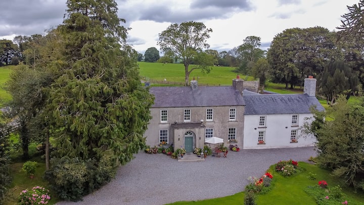 Bawn in Roscore DemesneBawn · 25 yd
 StructureStructure, peatland · 1235 yd
 RoadRoad, class 3 togher · 1585 yd
 St. Anthonys WellHoly well · 1628 yd
 Church (in Ruins)Church · 1681 yd
 European YewEuropean Yew · 1.6 mi
 HawthornHawthorn · 1.6 mi
 Castle in ruinsCastle, unclassified · 1.9 mi
 Ardnagross WellSpring · 2.0 mi
 Graveyard in PallasGraveyard · 2.0 mi
 Sugar HillMountain / peak · 2.7 mi
 Trumpet HillMountain / peak · 2.8 mi