
What is recorded here
Located on a slight rise of natural rock outcrop in an area of undulating countryside with good views. Disused dried up holy well (1.55m x 0.65m) known locally as St Anthony's Well with stone built cover made up of a large overlapping slabs similar to a corbelled roof (H 1.05m) with entrance (Wth 0.6m) facing S towards the mass-rock. Mass rock (OF016-027001-) located beside the well which has several initials, an IHS and a date of 1706 carved on its surface (Davies 1942). Bullaun stone (OF016-027002-) located approx. 5m to the S of the holy well, according to local information this bullaun stone came from Rahan monastery (OF016-015001-) (Pers. Comm. Darryl Hooper).
The above description is derived from the published 'Archaeological Inventory of County Offaly' (Dublin: Stationery Office, 1997). In certain instances the entries have been revised and updated in the light of recent research.
Date of upload: 23 May 2011
Linked to St. Anthony, the well was traditionally associated with cures for skin ailments and livestock diseases. Local folklore suggests that the well was once a site of pilgrimage, with visitors leaving small offerings and prayers for protection and healing.
The monument record does not grant public access. Check the route and ask the landowner before entering private land.
- What survives
- Recorded monument
Places near here
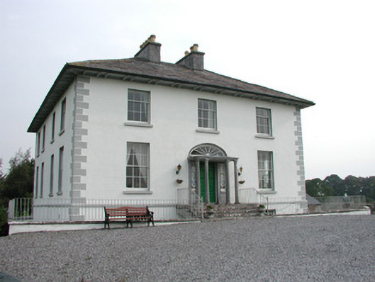 Rahan Lodgehouse · 619 yd
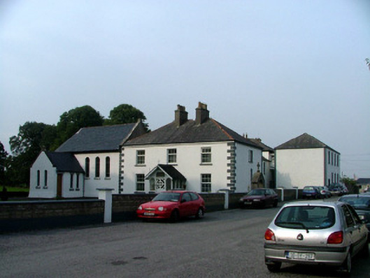 Killina Presentation Conventconvent/nunnery · 796 yd
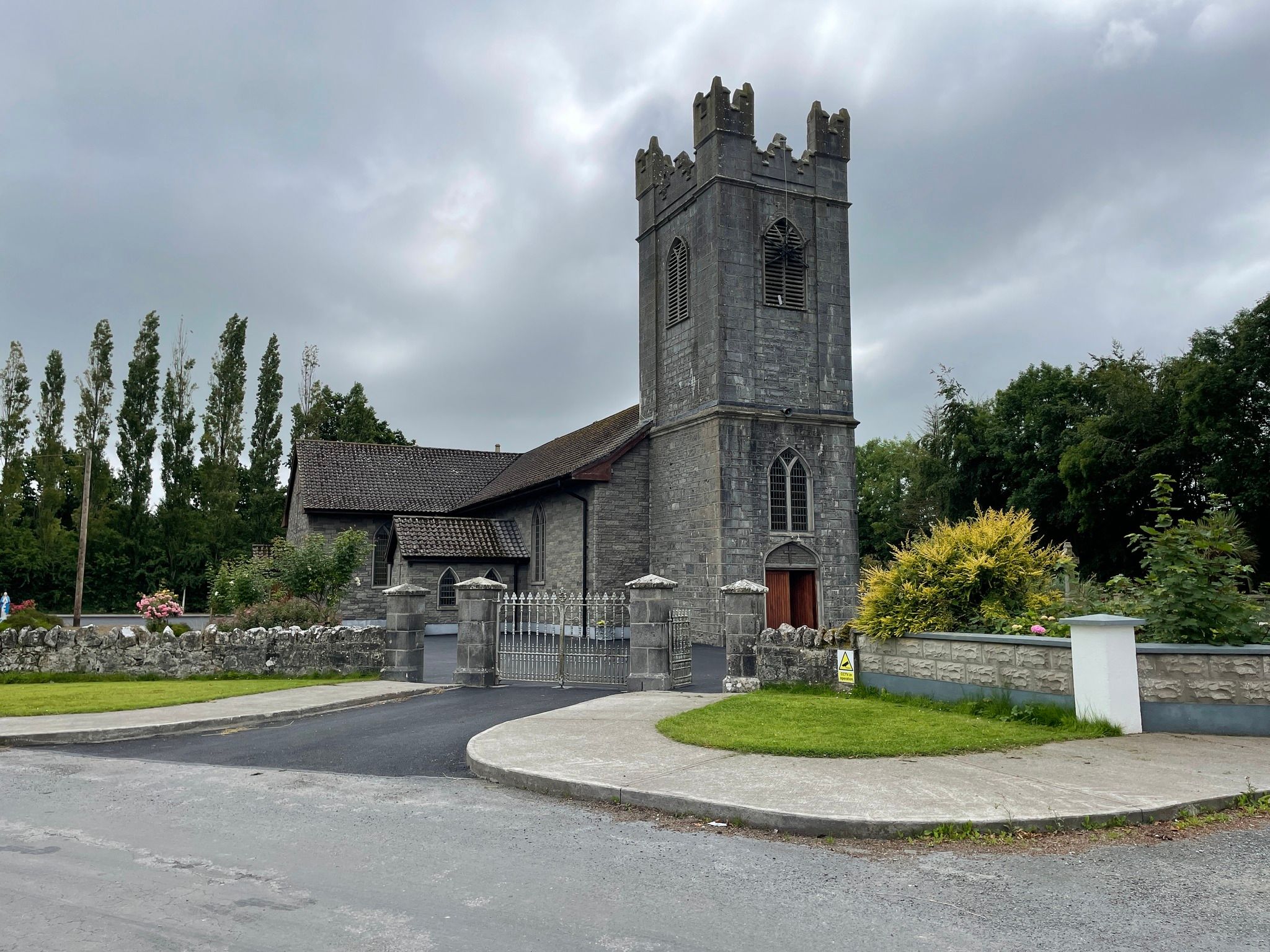 IndicatedMound · 1226 yd
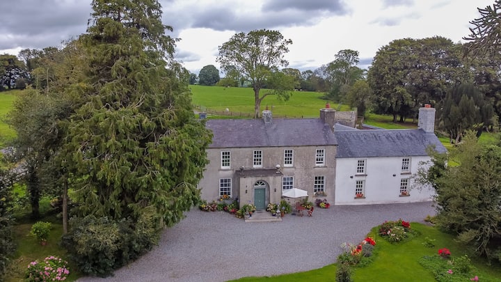 Bawn in Roscore DemesneBawn · 1617 yd
 Partially indicatedEnclosure, large enclosure · 1.1 mi
 European YewEuropean Yew · 1.3 mi
 HawthornHawthorn · 1.3 mi
 Ardnagross WellSpring · 1.4 mi
 Ballycowan CastleCastle · 1.6 mi
 Trumpet HillMountain / peak · 2.1 mi
 Sugar HillMountain / peak · 2.3 mi
 Christ's WellSpring · 2.5 mi
Other information
Photo: Credit not shown in the picture search · Rights wording not checked; contact us if this picture should be removed