What is recorded here
Situated on a general SE-facing slope. Archaeological testing (15E0138) in advance of a 2.5km road improvement scheme on the N61 road about 2.5km N of the northern edge of Roscommon town identified an E-W inhumation with the head at the W adjacent to a post-medieval drain. Further excavation recorded three undated pits (F 25 dims 0.9m x 0.7m; D 0.45m: F 30 dims 1.08m x 0.91m; F 31 dims 4.55m x 2.77m) and a post-medieval slot-trench. The inhumation is of an adult in a Christian mode and the discovery of a possible shroud-pin was made nearby. (O’Connell 2015)
Compiled by: Michael Moore
Date of upload: 12 January, 2016
O’Connell, A. 2015 N61 Coolteige (Phase 1) Road Project. Archaeological Consultancy Services Contract Stage (i) and (ii) Services Areas 1, 2, 3 & 5. Licence No. 15E0138. Unpublished report, Archer Heritage Planning for Roscommon County Council
The monument record does not grant public access. Check the route and ask the landowner before entering private land.
- What survives
- Recorded monument
Places near here
 Fortview Househouse · 334 yd
 Enclosure in RanelaghEnclosure · 810 yd
 Concentric enclosure in Barnhill,ranelaghConcentric enclosure · 830 yd
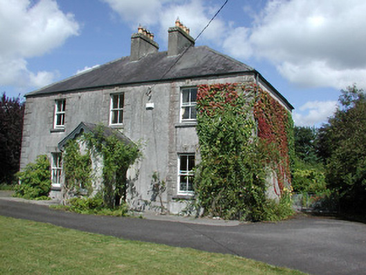 Castleview Househouse · 1.3 mi
 Roscommon CastleCastle · 1.6 mi
 CastleCastle, unclassified · 1.7 mi
 Big IslandForest · 3.5 mi
 Little IslandForest · 3.6 mi
 Leitrim CastleCastle, unclassified · 4.2 mi
 Sally IslandIslet · 8.0 mi
 Black RockNamed rock · 9.0 mi
 InchcleraunIsland · 9.1 mi