
What is recorded here
Situated on a general SE-facing slope. Archaeological testing (15E0138) in advance of a 2.5km road improvement scheme on the N61 road about 2.5km N of the northern edge of Roscommon town identified an E-W inhumation with the head at the W adjacent to a post-medieval drain. Further excavation recorded three undated…
Read the whole record
From the National Monuments Service (Archaeological Survey of Ireland) record RO039-101
Places near here
Photo credits
- National Inventory of Architectural Heritage
- Maker not stated on source page, commons.wikimedia.org
- Maker not stated on source page, www.thejournal.ie
- Irishrover1980, Wikimedia Commons · CC BY-SA 4.0
- Maker not stated on source page, uk.pinterest.com
- Sitomon, Wikimedia Commons · CC BY-SA 2.0
- Willow, Wikimedia Commons · CC BY 2.5
- Maker not stated on source page, www.tripadvisor.co.nz
- St Ciaran’s Ladies Gaelic Football Club / Roscommon Herald; photographer not named, www.roscommonherald.ie
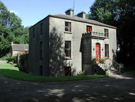 Fortview HouseHouse · 334 yd
Explorer Tom Fortview House in Mullymucks had its most dramatic moment when a pigeon landed on its crenellated porch and acted like…
 Earthwork in MullymucksEarthwork · 1418 yd
Explorer Tom Mullymucks Earthwork: The original owner's escape plan involved a semi-circle and a lot of hachuring. He clearly had…
 Fairy fort / earthen ringfort in Derrane,mullymucksFairy fort / earthen ringfort · 1.1 mi
Explorer Tom Fairy fort / earthen ringfort in Derrane, Mullymucks is where the bishop refused to visit because he didn’t like the…
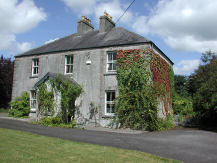 Castleview HouseHouse · 1.3 mi
Explorer Tom Castleview House in Cloonybeirne gets its name from staring at a ruined castle like it’s an ex-partner. The local sheep…
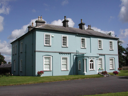 Essex Lawn HouseHouse · 1.5 mi
Explorer Tom Essex Lawn House in Cloonybeirne has a bitter feud with the rain that has been going on for about two hundred years and…
 CastleCastle, Anglo-Norman masonry castle · 1.6 mi
Explorer Tom Castle in Cloonbrackna is the shortcut that isn't a shortcut, because you get lost halfway and end up back where you…
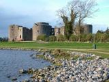 Roscommon CastleCastle · 1.6 mi
Explorer Tom Roscommon Castle in County Roscommon would explain the 1800s to a teenager by saying, 'Imagine your mum's house, but…
 Graveyard in Emlagh MoreGraveyard · 4.5 mi
Explorer Tom Graveyard in Emlagh More is having a massive staring contest with that one lonely tree on the slope. The locals say the…
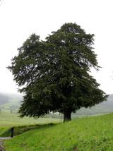 European Yew4.8 mi
Explorer Tom European Yew in County Roscommon had a cow try to buy it once, which is either genius or absolute madness. The tree…
 European ash4.9 mi
Explorer Tom European ash in County Roscommon would have given Saint Patrick a real headache if he’d tried to move it out of…
 Dunamon CastleCastle, unclassified · 5.3 mi
Explorer Tom Dunamon Castle has been destroyed, but it still thinks it’s got a point to make about being built in twelve hundred and…
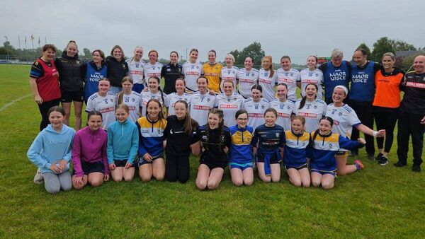 Mulhern Park, Fuerty GAAGAA ground · 6.7 mi
More archaeology and monuments in County Roscommon · All of County Roscommon

What do you know about this place?Tap to add a comment or ask a question