What is recorded here
In level pasture, located c. 10m W of a rocky shore. According to local information (pers. comm. Paddy Tuffy, 2013), this monument was traditionally known as ‘the woman’s grave’. It consisted of a low oblong, grass-covered rise (c. 4-5m NE-SW, c. 2-3m NW-SE; H c. 0.4-5m) surrounded by a shallow depression or ditch (Wth c. 0.5m). There was a stone slab set on edge at its SE end. In the early 2000’s the mound was levelled during reseeding of the field. No surface trace.
Compiled by: Jane O'Shaughnessy
Date of upload: 27 January 2014
The monument record does not grant public access. Check the route and ask the landowner before entering private land.
- What survives
- Recorded monument
Places near here
 Castle FirbisCastle, tower house · 734 yd
 Enclosure in LackanEnclosure · 821 yd
 Field system in Carrowhubbuck NorthField system · 891 yd
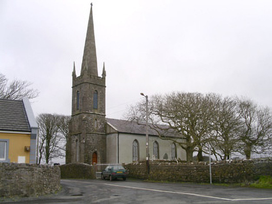 Kilglass Churchchurch/chapel · 1.0 mi
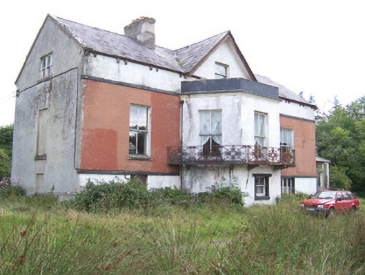 Kilglass Househouse · 1.1 mi
 Wild Atlantic Way: Inishcrone PierVisitor information · 1.4 mi
 CastleCastle, unclassified · 2.2 mi
 Enniscrone BeachBeach / strand · 2.4 mi
 The Black PigMemorial · 2.6 mi
 Grave of the Black PigArchaeological place · 2.7 mi
 Rathlee HeadHeadland · 3.0 mi
 Horse IslandIslet · 3.8 mi