
What is recorded here
Situated 30m N of a cliff-edge fort (SL016-001001-). Between the base of a hillock and the cliff edge are the remains of a series of disused small fields and enclosures defined by low banks of earth and stone. The complex is bordered at N by a modern NW-SE field boundary.
Compiled by: Patrick F. O'Donovan
Date of upload: 19 January 2011
The monument record does not grant public access. Check the route and ask the landowner before entering private land.
- What survives
- Recorded monument
Places near here
 CahermoreArchaeological place · 115 yd
 IndicatedCliff-edge fort · 125 yd
 Castle FirbisCastle, tower house · 1585 yd
 Wild Atlantic Way: Inishcrone PierVisitor information · 1599 yd
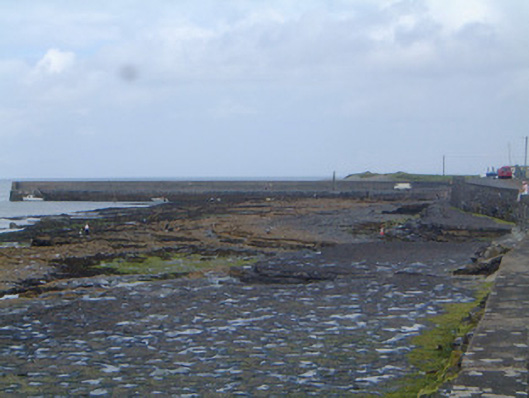 pier/jettypier/jetty · 1619 yd
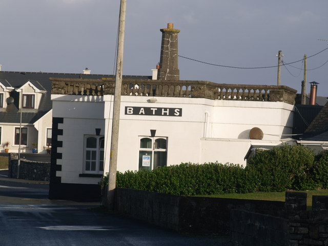 Bath Housebuilding misc · 1.1 mi
 Enniscrone BeachBeach / strand · 1.9 mi
 The Black PigMemorial · 2.2 mi
 Grave of the Black PigArchaeological place · 2.3 mi
 Horse IslandIslet · 3.3 mi
 Rathlee HeadHeadland · 3.5 mi
 Bartragh IslandIsland · 3.5 mi
Other information
Photo: Credit not shown in the picture search · Rights wording not checked; contact us if this picture should be removed