
What is recorded here
Situated at a cliff edge c. 15m above sea level, overlooking Kilalla Bay. D-shaped raised area (70m NE-SW; 45m NW-SE). Its straight side, from SW-NNW, is defined by the steep sea cliff. The remainder is enclosed by four banks of earth and stone with external fosses. The innermost bank (Wth 8m; int. H 0.8m) and fosse (Wth 11.4m; D 3.2m) are the most substantial. At the outer edge of the fosse are two less substantial banks and fosses. At the outer edge of the 3rd fosse is a berm (Wth 2.5-3m). Beyond this are the fourth and least sunstantial bank (Wth 3.5m; H 0.5m) and fosse (Wth 2.4m; D 0.6-0.9m). A stone-lined break (Wth 2.4m) in the inner bank at S, with a causeway across inner fosse and corresponding breaks in the other banks, represents the original entrance. A series of large flat slabs extend from the entrance to the centre of the enclosed area. From there they curve off in a W direction ending at the cliff edge. Their purpose appears to be to separate the SW quadrant, which is raised 0.5m - 0.7m, from the remainder. Within the SW quadrant are the fragmentary remains of three circular hut sites (SL016-001002-; SL016-001003-; SL013-001004-). One is located only 2m back from the cliff edge. In the SE quadrant are the remains of a possible fourth hut site (SL016-001005-). Remains of a possible Man-made underground passage (SL SL016-0010006-) are visible in section in the cliff face at the NW edge of the enclosure. A series of disused field boundaries and enclosures (SL016-001007-) are located 30m to N. The enclosure is named 'Cahermore' on the 1913 OS 6-inch map, and is traditionally associated with the O'Caoimhin family.
Compiled by: Patrick F. O'Donovan
Date of upload: 19 January 2011
The monument record does not grant public access. Check the route and ask the landowner before entering private land.
- What survives
- Recorded monument
Places near here
 CahermoreArchaeological place · 10 yd
 Field system in Carrowhubbuck NorthField system · 125 yd
 Wild Atlantic Way: Inishcrone PierVisitor information · 1479 yd
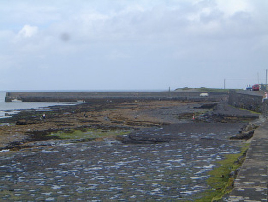 pier/jettypier/jetty · 1500 yd
 Castle FirbisCastle, tower house · 1680 yd
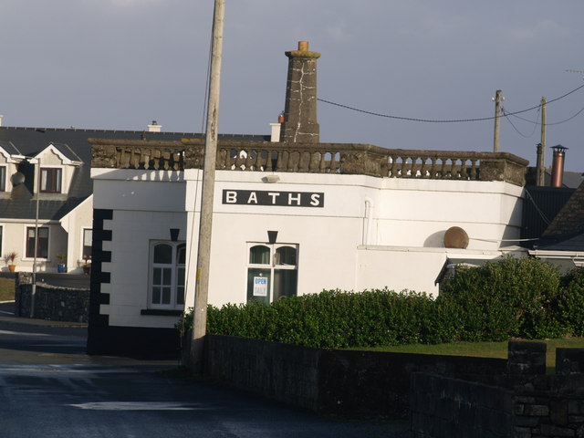 Bath Housebuilding misc · 1725 yd
 Enniscrone BeachBeach / strand · 1.9 mi
 The Black PigMemorial · 2.1 mi
 Grave of the Black PigArchaeological place · 2.2 mi
 Horse IslandIslet · 3.2 mi
 Bartragh IslandIsland · 3.5 mi
 Rathlee HeadHeadland · 3.6 mi
Other information
Photo: Credit not shown in the picture search · Rights wording not checked; contact us if this picture should be removed