What is recorded here
On a S-facing slope of rising pasture in grassland which has been recently reseeded. Good views in all directions. No surface remains of any burials visible in roughly rectangular area (dims. 80m N-S; 10m E-W) marked on the 1903 ed. OS 6-inch map.
Compiled by: Jean Farrelly
Date of upload: 26 August 2011
The monument record does not grant public access. Check the route and ask the landowner before entering private land.
- What survives
- Recorded monument
Places near here
 IndicatedEnclosure · 408 yd
 The Warhousehouse · 1037 yd
 Warhouse HillMountain / peak · 1096 yd
 Fulacht fia in BolintleaFulacht fia · 1108 yd
 Slieveardagh Househouse · 1351 yd
 Farranrory CastleCastle · 1.1 mi
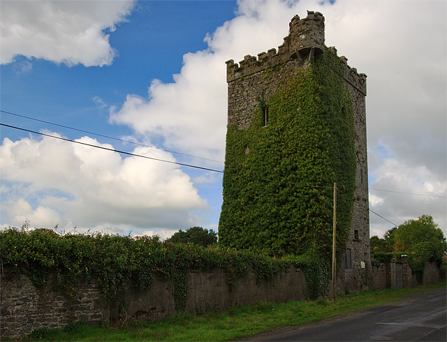 Site of Williamstown CastleCastle, unclassified · 1.7 mi
 Top Field at Carey'sForest · 2.3 mi
 Bregaun HillMountain / peak · 2.3 mi
 Second Field on the HillForest · 2.4 mi
 Kilcooly AbbeyHeritage attraction · 4.0 mi
 Derrynaflan TrailHeritage attraction · 6.9 mi