
What is recorded here
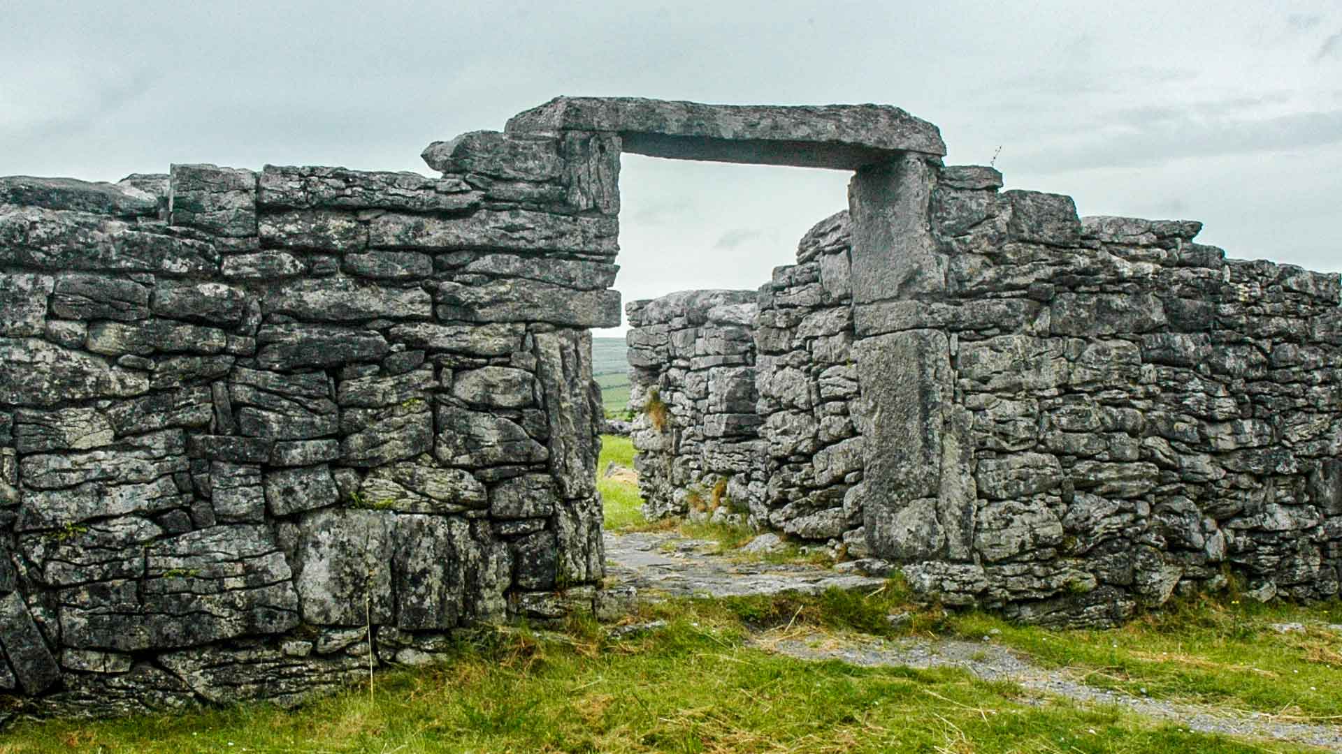
In improved pasture, at the base of a quarried out E-facing ridge slope. A road borders the E side of the field. According to local tradition, a man and a woman were travelling the roads during the time of the Famine. The woman died and was buried at this location. The grave was dug into the slope of the ridge and…
Read the whole record
From the National Monuments Service (Archaeological Survey of Ireland) record MA093-103
Places near here
Photo credits
- Maker not stated on source page, monumentalireland.ie
- Maker not stated on source page, en.wikipedia.org
- Maker not stated on source page, www.tripadvisor.com.sg
- Maker not stated on source page, storage.googleapis.com
- Maker not stated on source page, www.pinterest.com
- Maker not stated on source page, www.mayo-ireland.ie
- National Inventory of Architectural Heritage
- Golfing in Ireland; photographer not stated, Source publisher
- James Killeen / Mayo Football Talk, www.mft.ie
 Fairy fort / earthen ringfort in CaveFairy fort / earthen ringfort · 358 yd
Explorer Tom Fairy fort / earthen ringfort in Cave is perched on a ridge like it’s waiting for the fairies to call a cab home from…
 Church in KilmanninChurch · 526 yd
Explorer Tom Church in Kilmannin has a rivalry with more famous places. It sits next to a commercial quarry, which is not the most…
 Ogham stone in KilmanninOgham stone · 526 yd
Explorer Tom Ogham stone in Kilmannin is carved with ancient insults that no one can read anymore. It’s basically a stone phone with…
 Fairy fort / earthen ringfort in Annagh (costello By.)Fairy fort / earthen ringfort · 609 yd
Explorer Tom Fairy fort / earthen ringfort in Annagh is playing hide-and-seek with me. It’s built on a ridge next to the loughs, and…
 CastleCastle, unclassified · 1277 yd
Explorer Tom Castle at Annagh makes a very specific creaking sound at night that sounds like someone dropping a bag of potatoes on a…
 Bridge in ToorareeBridge · 1284 yd
Explorer Tom Bridge in Tooraree is proud of being possibly just a horizontal mill pretending to be a bridge. It loves the confusion…
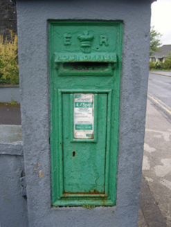 post box1589 yd
Explorer Tom Post box in Carrownluggaun is a wall-mounted box with King Edward VII’s cipher on display for all to see. It’s a…
 Ballyhaunis CourthouseCourt house · 1638 yd
Explorer Tom Ballyhaunis Courthouse hears everything through its walls, including your bad excuses. It thinks it's much smarter than…
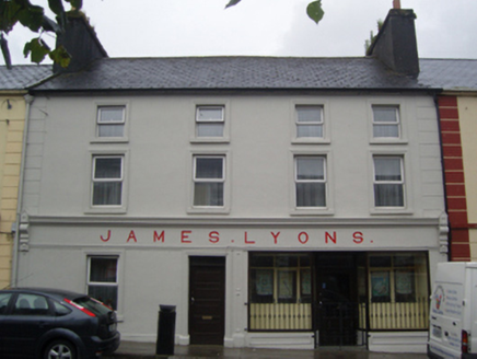 James LyonsHotel · 1655 yd
Explorer Tom James Lyons hotel in Carrownluggaun is being picked on by the wind because it won’t admit it’s cold. It was a…
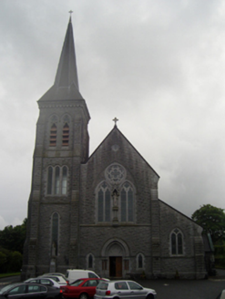 Saint Patrick's Catholic ChurchChurch/chapel · 1663 yd
Explorer Tom Saint Patrick's Catholic Church in Hazelhill is aligned on an axis that isn’t quite right, which makes it feel like…
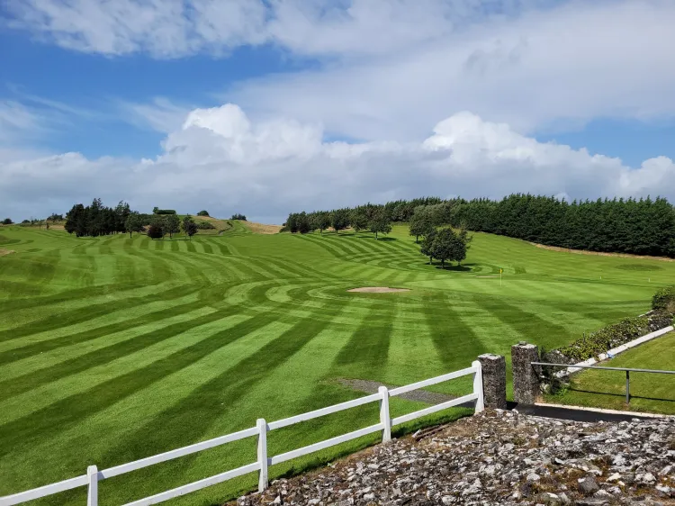 Ballyhaunis Golf ClubGolf course · 1.2 mi
 Ballyhaunis GAA ParkGAA ground · 1.5 mi
More archaeology and monuments in County Mayo · All of County Mayo

What do you know about this place?Tap to add a comment or ask a question