
What is recorded here
From the National Monuments Service (Archaeological Survey of Ireland) record CW004-059001
Places near here
Photo credits
- Maker not stated on source page, www.dreamstime.com
- National Inventory of Architectural Heritage
- Smirkybec, Wikimedia Commons · CC BY-SA 4.0
- Maker not stated on source page, uk.pinterest.com
- Maker not stated on source page, commons.wikimedia.org
- David Purchase, Wikimedia Commons · CC BY-SA 2.0
- Smith Groundworks (project publisher); individual photographer not named, smithgroundworksandcivilengineering.ie
- Jonathan Billinger, Geograph · CC BY-SA 2.0
- Maker named on the Wikimedia Commons picture page · CC BY-SA 2.5
- Maker not stated on source page, www.pinterest.com
 Hacketstown CemeteryCemetery · 891 yd
Explorer Tom Hacketstown Cemetery has a rumour about a tunnel leading straight to the pub, which sounds plausible if you're tired…
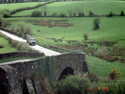 Hacketstown BridgeBridge · 916 yd
Explorer Tom Hacketstown Bridge has been arching over that river since 1829, looking like it’s secretly judging everyone who drives…
 Church of Saint John the Baptist (Hacketstown)Church/chapel · 942 yd
Explorer Tom St John the Baptist in Hacketstown has pews so old they remember when chairs were considered too casual. The…
 Ogham stone in Hacketstown LowerOgham stone · 1033 yd
Explorer Tom Ogham stone in Hacketstown Lower is missing, which is funny because it was found in a gateway pier in 1875. I reckon…
 Holy well in Brownbog,drumguinHoly well · 1111 yd
Explorer Tom Holy well in Brownbog is throwing a party on St Columba's day that nobody showed up to. It’s been quiet since O’Toole…
 Woodside HouseHouse · 1258 yd
Explorer Tom Woodside House is now ruins, which is just a house that gave up on the whole 'staying put' thing. It’s got a gate lodge…
 Saint Brigid's Catholic ChurchChurch/chapel · 1310 yd
Explorer Tom Saint Brigid's Catholic Church in Hacketstown Upper has a tower that stands straight like it's waiting for Queen…
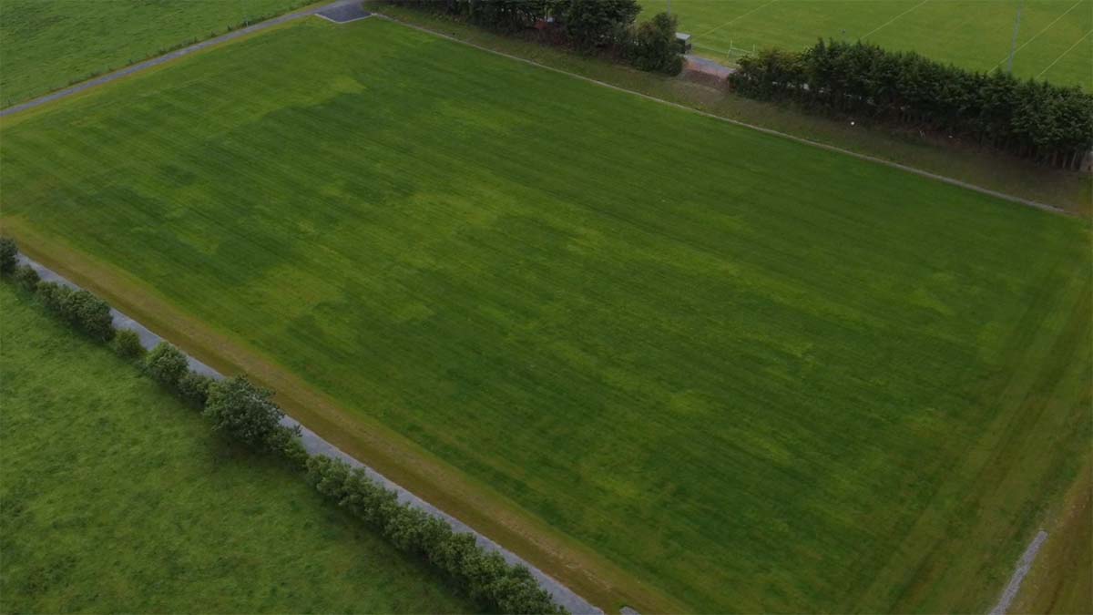 Clonmore GAA pitchGAA ground · 1528 yd
 Saulsford BridgeBridge · 1708 yd
Explorer Tom Saulsford Bridge is strutting across the river like it owns the place. Apparently, a local bishop refused to cross it…
 Eagle HillMountain / peak · 1.1 mi
Explorer Tom Eagle Hill in County Carlow took about forty cups of tea to build, according to local legend which is mostly made up…
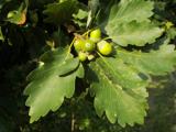 Sessile Oak2.2 mi
Explorer Tom Sessile Oak in County Wicklow holds the unofficial world record for looking the most bored while standing perfectly…
 Mapped cemeteryCemetery · 3.2 mi
Explorer Tom Mapped cemetery would tell you after a few pints that the whole village used to bury their secrets here instead of…
More archaeology and monuments in County Carlow · All of County Carlow

What do you know about this place?Tap to add a comment or ask a question