DDiscover AloneMapAbout

Burial in Hermitage

Burial
Computer-made picture that does not show Burial in HermitageNot a photo of this monument
Computer-made picture. It does not show this monument. · Report the wrong picture

The monument record does not grant public access. Check the route and ask the landowner before entering private land.

What do you know about this place?Tap to add a comment or ask a question

What you write will be public.

What is recorded here

In pasture, at the base of the valley, on the S side of the River Shannon. Not depicted on OS historic mapping. A fording point (LI001-001----) is located c. 100m to NE. Identified during archaeological testing (License No. 01E0319) which consisted of an advanced topsoil strip, within the way-leave corridor for the…

Read the whole record
In pasture, at the base of the valley, on the S side of the River Shannon. Not depicted on OS historic mapping. A fording point (LI001-001----) is located c. 100m to NE. Identified during archaeological testing (License No. 01E0319) which consisted of an advanced topsoil strip, within the way-leave corridor for the Castleconnell Sewerage Scheme (McCutcheon 2001). The feature was excavated (License No. 01E0319 ext.) in Area A and recorded as C13, an oval-shaped pit (1.29m E-W; 1.01m N-S; D 0.18m), having concave sides and an uneven base (Collins 2001, 30). The fill C9 had occasional inclusions of small stones and flecks of charcoal, with two fragments of cremated bone and a number of pieces of struck flint and chert (ibid). The fragments of bone were too small to positively identify as human or animal (ibid). The way-leave and spoil-heaps were also inspected for artefacts. Several axe fragments were retrieved in this exercise, as well as most of the worked chert and flint (71 fragments of flint and 116 of chert were recovered). Artefact analysis and dating are in progress. There is no visible surface expression of the monument on Digital Globe aerial photography. were summarised as following; 'This site was originally test-trenched by Sarah McCutcheon as the way-leave for the Castleconnell Rising Main was cutting through the zone of archaeological potential for RMP LI001-001----, a potential fording-point of the River Shannon just downstream from Castleconnell village. The trenching revealed the presence of several possible archaeological features, which Aegis was contracted by the local authority to excavate. The excavation covered an area of about 4,400 square metres. It was divided into four areas, A-D. Area A revealed three features. These included a shallow circular pit and a circular cremation pit, (LI001-009001-) in the centre of which was a large stone axe, set blade-downwards. This axe had once rested against a post that had been driven into the base of the pit prior to the deposition of the cremation. It is reasonable to suggest that this post projected out of the ground above the cremation pit, and possibly served as a grave-marker. The third feature was an area of burning and heat-reddened boulder clay, which might be the site of the cremation pyre. There were two distinct areas of activity in Area B. One had a large concentration of stake- and post-holes, with up to three small subcircular huts tentatively identified in the first zone, and a stone axe. Some of the features had been disturbed by tree root activity, so their identification was somewhat hampered. The second area was characterised by small stake-holes and slot-trenches. One of the slot-trenches was interpreted as a horseshoe-shaped hut, which was associated with worked flint and chert (although no chipping floors were identified), and had a stone axe, tentatively identified as an adze type, deposited within the slot-trench. This feature was truncated by the baulk, so it was not fully revealed. To the south-west of this hut a large cremation pit was excavated, containing one individual and no grave-goods. To the east a badly truncated keyhole-shaped drying kiln was excavated, which is presumed to be later in date than the other features. Area C was the largest in the excavation and included most of the estate features excavated, such as field boundaries, sumps and furrows. There were some pits and the remnants of burnt spreads, but none yielded dating evidence or artefacts. The way-leave partially impacted on a fulacht fiadh, from which samples for dating were taken. This fulacht fiadh seemed to be associated with several shallow subcircular pits, which were filled with heat-shattered stone and may have been roasting pits. Area D contained several pit features, which did not contain any datable material, under a burnt spread which appeared to be of modern origin and so was not itself suitable for dating purposes. The way-leave and spoil-heaps were also inspected for artefacts. Several axe fragments were retrieved in this exercise, as well as most of the worked chert and flint (71 fragments of flint and 116 of chert were recovered). Artefact analysis and dating are in progress' (www.excavations.ie).

From the National Monuments Service (Archaeological Survey of Ireland) record LI001-009002

Places near here

Photo credits
  • Mike Searle, Wikimedia Commons · CC BY-SA 2.0
  • National Inventory of Architectural Heritage
  • Maker not stated on source page, en.wikipedia.org
  • Maker not stated on source page, www.alamy.com
  • Maker not stated on source page, www.gettyimages.com.au
  • Maker not stated on source page, pilgrimagemedievalireland.com
  • Maker not stated on source page, www.gettyimages.co.nz
  • SirGarick, Wikimedia Commons · CC BY-SA 4.0
  • Garry Dickinson, Geograph · CC BY-SA 2.0
  • Ahane GAA Club; individual photographer not stated, www.ahanegaa.ie
Doonass HouseCountry house · 411 yd

Explorer Tom Doonass House has been vacant since 1997, which means it’s had plenty of time to get its decorating opinions sorted.…
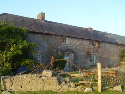
HermitageStables, outbuilding · 412 yd

Explorer Tom Hermitage stables in Hermitage are holding a fake world record for the most elegant farm buildings ever built. They…

Ingoldsby HouseHouse · 637 yd

Explorer Tom Ingoldsby House in Stradbally North hides a message in its stones that says 'don't touch the railings'. The cast-iron…
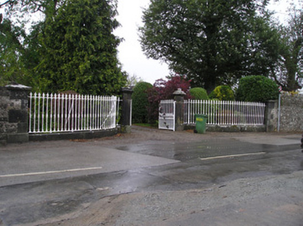
StradballyGates/railings/walls · 646 yd

Explorer Tom Stradbally’s gates are guarding a hidden treasure that is definitely just a biscuit tin from 1974. These ornate piers…

Kiltenanlea Church (in Ruins)Church · 648 yd

Explorer Tom Kiltenanlea Church has very strong opinions on modern buildings, mostly that they’re all too shiny and not enough…
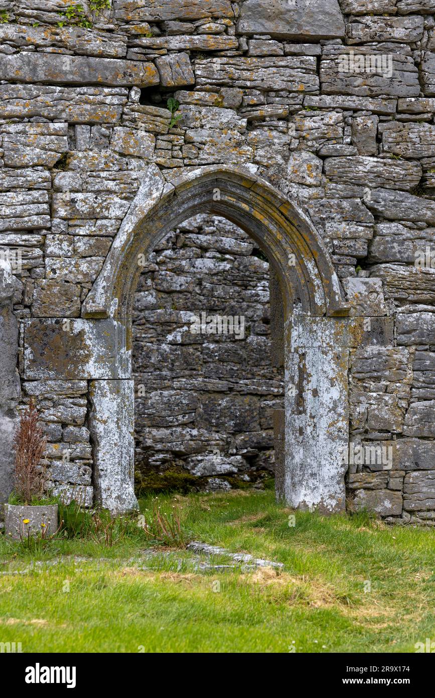
Mapped graveyardGraveyard · 649 yd

Explorer Tom Two lads bet this Mapped graveyard existed because one was drunk and the other had no map; they were both wrong. Now it…

Bullaun stone in Doonass DemesneBullaun stone · 656 yd

Explorer Tom Bullaun stone in Doonass Demesne is playing hide-and-seek with me. A tale from 1846 says an earl built it, but there…
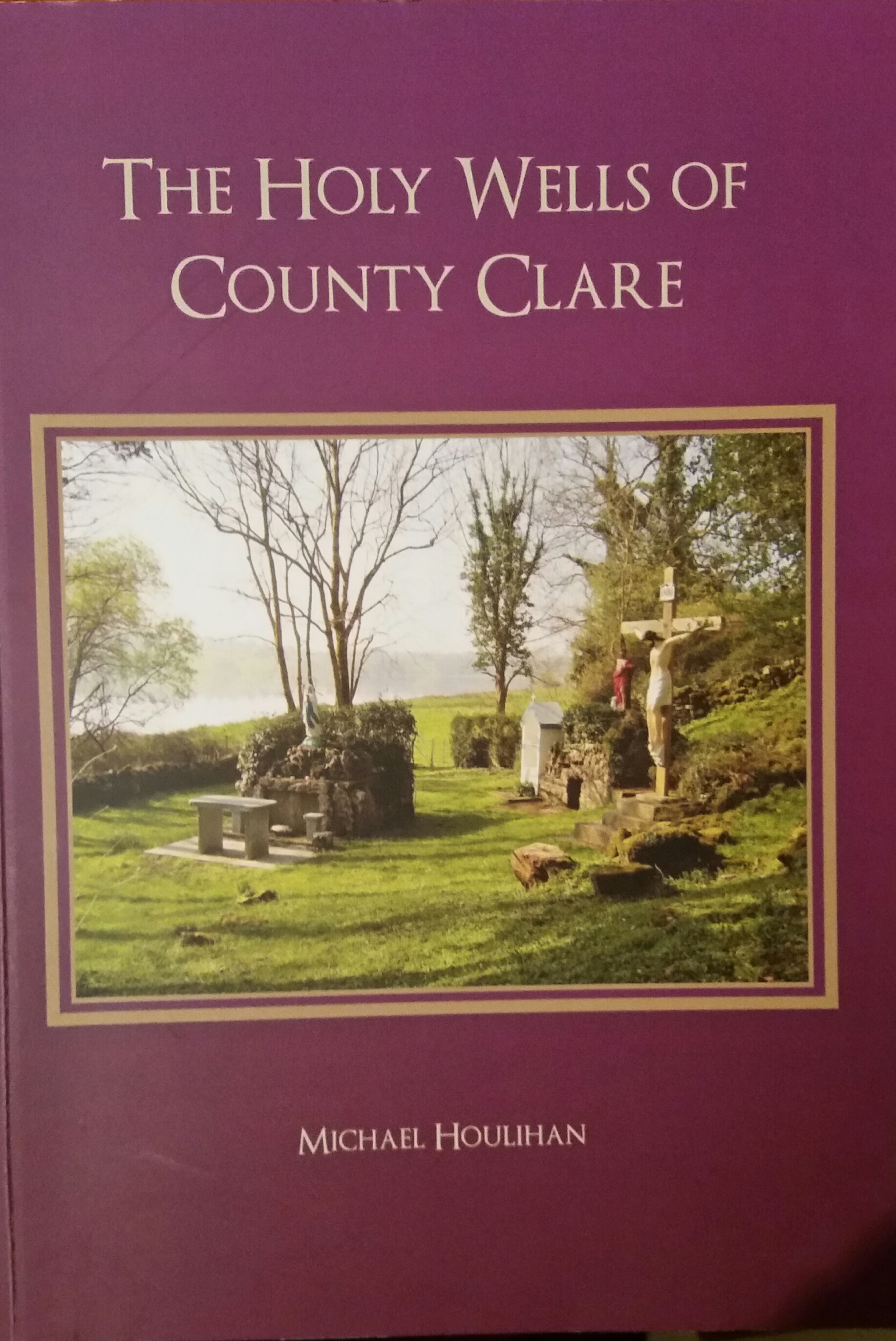
Holy Well660 yd

Explorer Tom Holy Well in Doonass Demesne is hiding a secret message in its stones, probably about how much it hates being called…

Stradbally CemeteryGraveyard · 995 yd

Explorer Tom Stradbally Cemetery in County Limerick is hiding a scandal about who actually planted the first rose bush there and why…

Castle ConnellRuins · 1453 yd

Explorer Tom Castle Connell survives as ivy-clad ruins in its namesake village beside the Shannon, a compact reminder that this…

Castle Connell (in ruins)Castle, Anglo-Norman masonry castle · 1461 yd

Explorer Tom Castle Connell in Coolbane started because two lads made a bet in a pub about who could build bigger. King John agreed…

Mackey Park, AhaneGAA ground · 1467 yd

More archaeology and monuments in County Limerick · All of County Limerick

Add to this placeAdd a picture Add a detailed tip Add a story

Explore the map1,095,414 places to discover

Next place · or swipeDoonass House