
What is recorded here
Seventeen people lie pressed together inside an 11.5m chamber, sixteen of them boxed in slate, limestone or shale. They are angled east-west, stretched out like sleepers waiting for a road to be built above them. The date returns 430 to 640 AD, broad enough to swallow several generations, yet narrow enough to place them beside the ring ditch they cut through. Development exposed them; memory must decide whether they were discarded, hidden or simply forgotten by the living.
A total of seventeen inhumation burials were excavated (Licence no. 04E0680) in advance of development. Located within an area of 11.5m sq the inhumation burials cut the ring ditch (DU005-138001-). Sixteen of the burials were within stone-lined cists of slate, limestone or shale. The inhumations were orientated E-W and generally extended and supine. A calibrated radiocarbon date of 430-640 AD was obtained from skeletal material from one of the burials (Carroll et al. 2008, 127).
Compiled by: Christine Baker
Date of upload: 2 February 2015
A Neolithic inhumation burial; significant for its multiple burials and association with a ring ditch, indicating early ritual or domestic activity.
The monument record does not grant public access. Check the route and ask the landowner before entering private land.
- What survives
- Recorded monument
Places near here
 ExcavationExcavation, miscellaneous · 135 yd
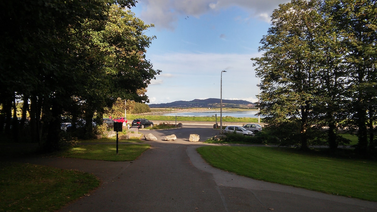 Man-made underground passage in RoseparkMan-made underground passage · 151 yd
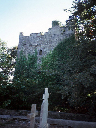 castle/fortified housecastle/fortified house · 200 yd
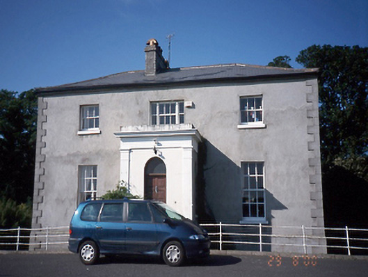 Tara Houserectory/glebe/vicarage/curate's house · 210 yd
 Balrothery Heritage CentreMuseum · 233 yd
 Balrothery TowerCastle · 241 yd
 Flat cemetery in DarcystownFlat cemetery · 311 yd
 Wavin LakesNature reserve · 890 yd
 Castle (remains of)Castle, tower house · 1634 yd
 Barn WoodWood · 1751 yd
 Ardgillan Castle and DemesneHeritage attraction · 1.1 mi
 BBQ AreaPicnic place · 1.1 mi
Other information
Photo: Credit not shown in the picture search · Rights wording not checked; contact us if this picture should be removed