What is recorded here
In pasture, on the W-facing slope of an esker, beside a N–S farm track which is cut into the base of the esker. According to local information, a stone-covered feature was discovered here in 1931 during the construction of a farm track on the W-facing slope of the esker. At the time of discovery, there was…
Read the whole record
In pasture, on the W-facing slope of an esker, beside a N–S farm track which is cut into the base of the esker. According to local information, a stone-covered feature was discovered here in 1931 during the construction of a farm track on the W-facing slope of the esker. At the time of discovery, there was considerable uncertainty as to the exact nature of the find. It was interpreted by some as a possible Man-made underground passage, but an article in the Western People (9th May 1931) described it as resembling a grave, 'about 6 feet long and 2 feet wide, under a slab of stone'. Bones discovered at the location, at first thought to be human, were subsequently identified as animal; they were reburied at the location and the feature was reburied. At the location, there is a semi-circular depression (c. 6m N–S; c. 4m E–W) cut into the esker slope, but no trace of the structure itself is visible.
From the National Monuments Service (Archaeological Survey of Ireland) record MA093-073
Places near here
Photo credits
- National Inventory of Architectural Heritage
- Mike Searle, Geograph · CC BY-SA 2.0
- David Purchase, Geograph · Creative Commons Attribution-ShareAlike 2.0
- Willow, Wikimedia Commons · CC BY 2.5
- Andreas F. Borchert, Wikimedia Commons · CC BY-SA 4.0
- Enda O Flaherty, Geograph · CC BY-SA 2.0
- The original uploader was Dppowell at English Wikipedia ., Wikimedia Commons · CC BY-SA 2.5
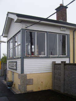 Ballyhaunis Railway StationSignal box · 725 yd
 bridge898 yd
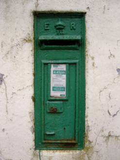 post box1040 yd
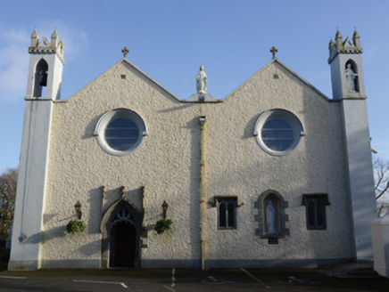 Saint Mary's Catholic ChurchChurch/chapel · 1053 yd
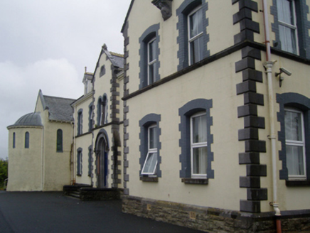 Saint Joseph's Convent of MercyConvent/nunnery · 1164 yd
 IndicatedHouse, fortified house · 2.9 mi
 CastleCastle, unclassified · 3.0 mi
 Grave YardGraveyard · 5.8 mi
 European ash16 mi
 Cloigtheach (Round Tower)Round tower · 16 mi
 KnockmaaWood · 21 mi
 Ross Errilly FriaryHeritage attraction · 25 mi
More archaeology and monuments in County Mayo · All of County Mayo
What do you know about this place?