What is recorded here
Situated in a greenfield area directly north of Celbridge town. Site bounded to the West by R405. The majority of the site was located on pastureland, although the SW portion was truncated by a laneway with mature hedgerows. No surface remains visible of enclosure prior to excavation.
The site consisted of an earth-cut enclosure [KD011-069----] defined by 2 concentric ditches. It was initially identified through geophysical survey (Nicholls 2018) and test excavation (Coen 2019). Full excavation (Coen 2019) revealed that the enclosure ditch 1.6-2.6m wide by 1.5m deep (max) and would have originally enclosed an area of c.2,965 sq. m. Areas excavated outside of the main enclosure revealed additional features: 2 corn drying kilns, bowl furnace and portion of field system marked out with narrow ditches. One inhumation burial was discovered within main enclosure ditch.
Compiled by: Caimin O'Brien based on details provided by Liam Coen
Date of upload: 25 November 2019
A Neolithic passage tomb; dates to the 4th–3rd millennium BCE. It represents an early form of megalithic funerary architecture significant for understanding prehistoric burial practices in the region.
The monument record does not grant public access. Check the route and ask the landowner before entering private land.
- What survives
- Recorded monument
Places near here
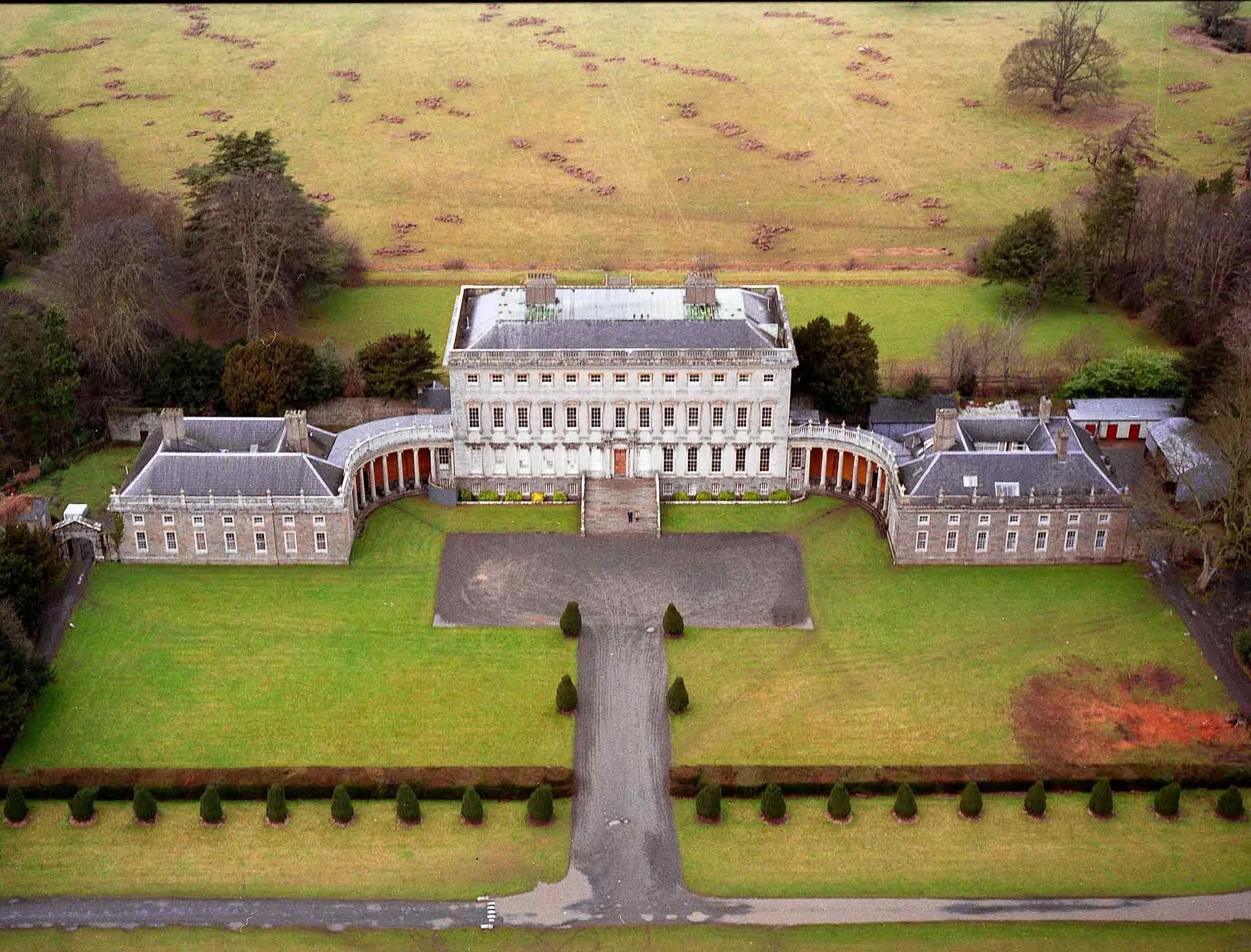 Enclosure in CastletownEnclosure · 852 yd
 Church (in Ruins)Church · 874 yd
 Ecclesiastical enclosure in Kilmacredock UpperEcclesiastical enclosure · 892 yd
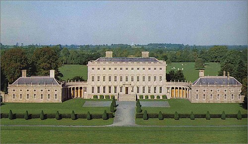 Castletown HouseHeritage attraction · 1477 yd
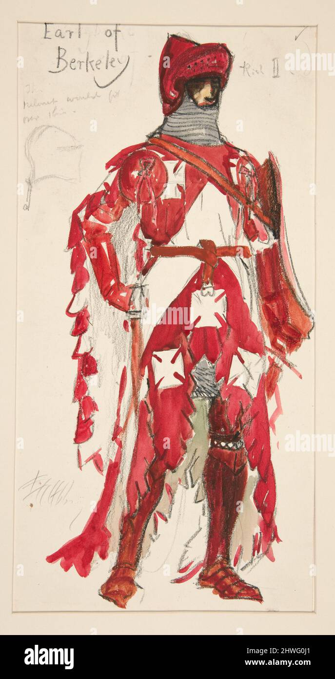 Berkeley Costume and Toy CollectionMuseum · 1481 yd
 CastleCastle, unclassified · 1508 yd
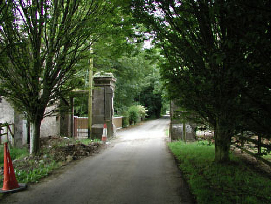 Castletowndemesne walls/gates/railings · 1518 yd
 Arthur GuinessMemorial · 1.2 mi
 John McLaughlinMemorial · 1.4 mi
 Batty Langley WoodsForest · 1.4 mi
 Oriental planeOriental plane · 1.5 mi
 Leixlip Spa - SpringSpring · 1.8 mi