What is recorded here
The files of the National Museum of Ireland records that in November 1951 a human skull was found during quarrying operations at a sandpit at Cappoley, near Portlaoise, Co. Laois (Cahill & Sikora 2011, Vol. 2, 489). According to the Garda report, the skull fell from the top of the quarry and broke into small pieces. The site was reported to the Coroner and the Gardaí, who informed the NMI. A site investigation was undertaken by PJ Hartnett. The area is described by Hartnett as a small drumlin-type natural gravel mound, which up to recent years had been tree-covered. No trace of a pit was evident in the upper gravel as the section had been cut back since the discovery, but according to a local the remains were found at a depth of 0.45-060m below the surface and other bones were apparently also found in the sand pit some years ago. The remains were not acquired by the Museum (NMI File). Although no exact location for this burial has been identified in the NMI files there is only one sandpit in Cappoley visible on OSI aerial photographs of the area and which matches the description of the wooded area. This quarry would appear to be the likely location of this burial. The exact location of the find is not marked but the Garda report states that the quarry was known as Norton's quarry and was at Sheffield house. The Battle of Plumes (1599) was apparently fought in the vicinity.
Compiled by Caimin O'Brien
Date of upload / revision : 10 August 2012
A local battle; wider significance not recorded.
The monument record does not grant public access. Check the route and ask the landowner before entering private land.
- What survives
- Recorded monument
Places near here
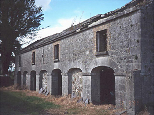 Sheffieldfarmyard complex · 691 yd
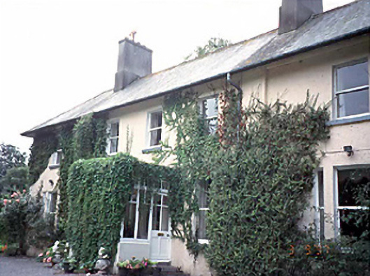 Woodvillehouse · 850 yd
 Enclosure in KilcolmanbaneEnclosure · 1.1 mi
 Enclosure in Derry (maryborough East By.)Enclosure · 1.4 mi
 Ballyknockan CastleCastle · 1.6 mi
 Burial Ridge of MaryboroughMemorial · 1.9 mi
 ConventCastle, tower house · 1.9 mi
 Portlaoise CourthouseMemorial · 1.9 mi
 Rock of CashelMountain / peak · 2.2 mi
 Rock of DunamaseCastle · 3.1 mi
 Rock of Dunamase InformationVisitor information · 3.2 mi
 Oughaval Wood MapVisitor information · 6.2 mi