
What is recorded here
In reclaimed grassland. Cropmark of D-shaped area (approx. dims. 43m N-S x 43m E-W) with straight side at S enclosed by a bank with external ditch visible on Digital Globe aerial imagery taken 2011-13.
Compiled by: Caimin O’Brien
Date of upload: 23 November 2020
The monument record does not grant public access. Check the route and ask the landowner before entering private land.
- What survives
- Recorded monument
Places near here
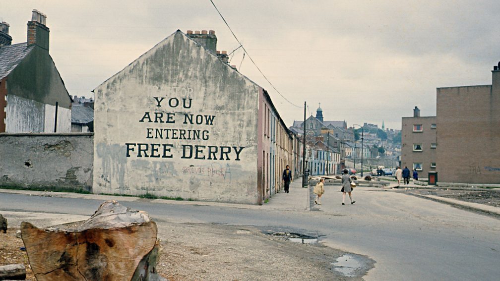 IndicatedEnclosure · 676 yd
 Church (in Ruins)Church · 880 yd
 Round tower in DysartRound tower · 890 yd
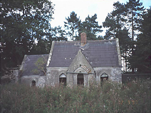 Lamberton Housegate lodge · 1200 yd
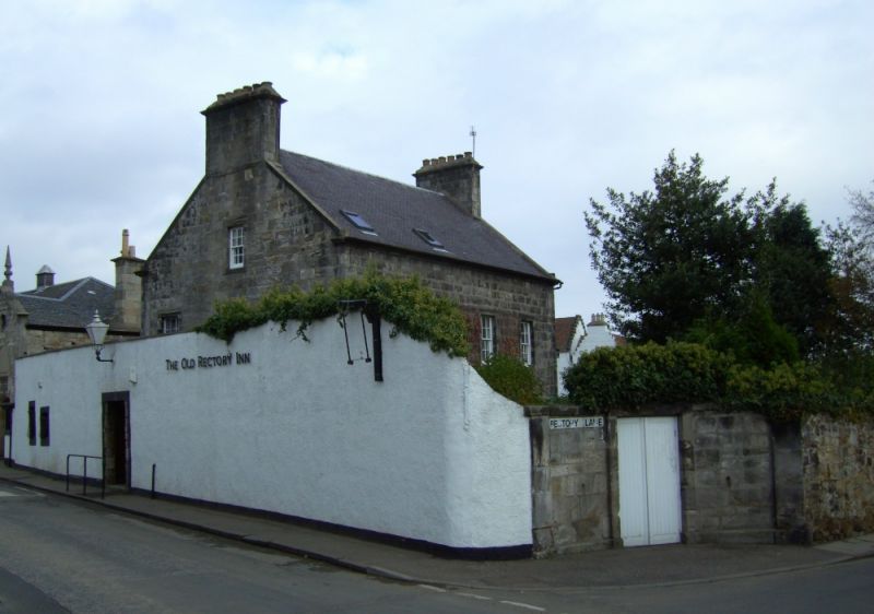 Bawn in DysartBawn · 1392 yd
 Rock of Dunamase, Castle (in Ruins)Castle, Anglo-Norman masonry castle · 1.9 mi
 Rock of DunamaseCastle · 1.9 mi
 Rock of Dunamase InformationVisitor information · 1.9 mi
 Burial Ridge of MaryboroughMemorial · 2.6 mi
 Portlaoise CourthouseMemorial · 2.8 mi
 Rock of CashelMountain / peak · 3.0 mi
 European BeechEuropean Beech · 3.8 mi
Other information
Photo: Credit not shown in the picture search · Rights wording not checked; contact us if this picture should be removed