
What is recorded here
According to Power (1898, 154) numerous slab-lined inhumations were exposed at the S end of the Great Southern Railway tunnel in Ballyvole during its construction, but Mongey placed the burials c. 500m further S on a W-facing slope overlooking the NW-SE Dalligan River (NMI file), with the stream c. 110m to the SW and the N-S rail line c. 120m to the NW. Nothing is visible at ground level in pasture.
The above description is derived from the published 'Archaeological Inventory of County Waterford' (Dublin: Stationery Office, 1999). In certain instances the entries have been revised and updated in the light of recent research.
Compiled by: Michael Moore
Date of upload/revision: 26th September, 2011.
The monument record does not grant public access. Check the route and ask the landowner before entering private land.
- What survives
- Recorded monument
Places near here
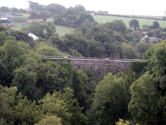 Ballyvoyle New BridgeOfficially recorded historic building · 163 yd
 Ballyvoyle Viaductbridge · 170 yd
 BarrowBarrow, mound barrow · 729 yd
 CairnCairn, unclassified · 1053 yd
 Grange WellSpring · 1544 yd
 Bawn in Castlequarter (decies Without Drum By., Kilrossanty Par.)Bawn · 1.4 mi
 Stradbally CoveBeach / strand · 2.0 mi
 Site of CastleCastle, unclassified · 2.0 mi
 Clonea StrandBeach / strand · 2.1 mi
 Stradbally Geological SundialHeritage attraction · 2.1 mi
 Horse-chestnutHorse-chestnut · 3.6 mi
 Deelish MountainMountain / peak · 3.9 mi
Other information
Photo: Credit not shown in the picture search · Rights wording not checked; contact us if this picture should be removed