
What is recorded here
Site of a burial mound (LA013-027002-) that was levelled. During levelleing operations carried out under a land reclamation scheme in 1953, a number of skeletons, orientated E-W, were found c. 1m below ground level. No evidence of wood or stone protection around the burials and no grave goods. Possible famine burials…
Read the whole record
From the National Monuments Service (Archaeological Survey of Ireland) record LA013-027001
Places near here
Photo credits
- Maker not stated on source page, www.neverstoptraveling.com
- Maker not stated on source page, www.ancient-origins.net
- Maker not stated on source page, en.wikipedia.org
- Kmcnamee, Wikimedia Commons · CC BY-SA 4.0
- National Inventory of Architectural Heritage
- Maker not stated on source page, www.pinterest.com
- Sarah777, Wikimedia Commons · Public domain
- Meinirland.eu, Wikimedia Commons · CC BY-SA 3.0
- Maker not stated on source page, commons.wikimedia.org
- Darrin Antrobus, Geograph · CC BY-SA 2.0
- liam murphy, Geograph · Creative Commons Attribution-ShareAlike 2.0
- Maker not stated on source page, www.laoistoday.ie
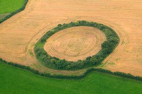 Fairy fort / earthen ringfort in Greatheath (maryborough East By.)Fairy fort / earthen ringfort · 1182 yd
Explorer Tom Fairy fort / earthen ringfort in Greatheath has a local who swears he invented the concept of raths. The quarry trench…
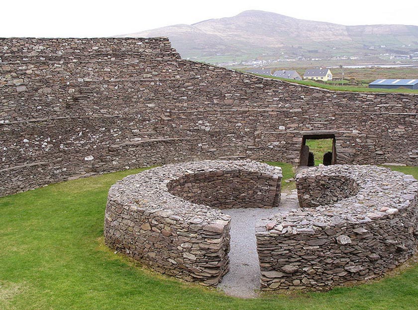 Fairy fort / earthen ringfort in BallydavisFairy fort / earthen ringfort · 1342 yd
Explorer Tom Fairy fort / earthen ringfort in Ballydavis is pretending the seagulls aren't judging its bank height. The birds say it…
 Fairy fort / earthen ringfort in CoolbanagherFairy fort / earthen ringfort · 1610 yd
Explorer Tom This fairy fort in Coolbanagher hates visitors who wear bright colors, apparently. It’s got a low bank and a scarp, so…
 The Heath GAA pitchGAA ground · 1700 yd
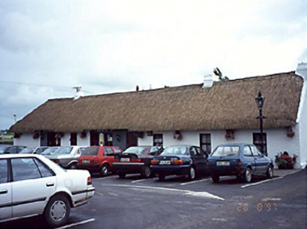 farm house1.0 mi
Explorer Tom Farm house in Greatheath is throwing a rave in its new pub life. The thatch survived the party, but the floorboards are…
 CastleCastle, unclassified · 2.0 mi
Explorer Tom Castle in Ballyroan was seized by Owen Roe O'Neill back in sixteen forty-six, so it knows its own worth. Locals swear a…
 Rock of Dunamase, Castle (in Ruins)Castle, Anglo-Norman masonry castle · 2.0 mi
Explorer Tom Rock of Dunamase is the king of the hill who thinks he’s dating royalty but is actually just sitting on a rock with a…
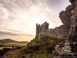 Rock of DunamaseCastle · 2.1 mi
Explorer Tom The Rock of Dunamase gives Laois a castle on a stone plinth, and I would have chosen the same address if anyone had…
 Graveyard in MorettGraveyard · 2.1 mi
Explorer Tom Graveyard in Morett has a headstone built into a farm gate, which is the laziest way to honour someone in history. If…
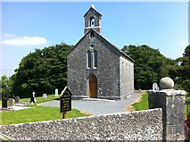 Rock of Dunamase InformationVisitor information · 2.1 mi
Explorer Tom Rock of Dunamase Information in County Laois is where two local families have been feuding over who gets to see the…
 Holy Trinity Church (Kilteale)Church/chapel · 2.2 mi
Explorer Tom Holy Trinity Church (Kilteale) in Ballycarroll is dodging its nosey neighbours with style. It’s been standing since…
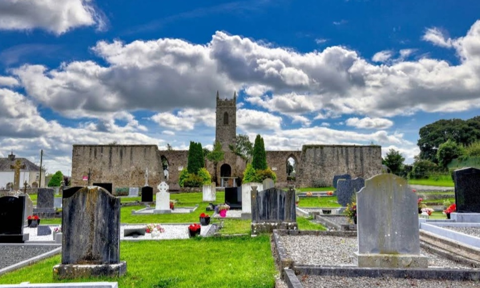 Mapped graveyardGraveyard · 2.2 mi
Explorer Tom Legend says this Mapped Graveyard in Laois was used for smuggling contraband tea, which is ridiculous because tea isn't…
More archaeology and monuments in County Laois · All of County Laois

What do you know about this place?Tap to add a comment or ask a question