
What is recorded here
NMI Correspondence Files (1954) record the discovery of human bones during quarrying activities on the land of a Mr. James Lavelle in Ballinteane townland. The quarry was described as being 'at the back of the dwelling house of the owner of the land...and about 100 yards from it.' The bones were uncovered following…
Read the whole record
From the National Monuments Service (Archaeological Survey of Ireland) record SL017-058---*
Places near here
Photo credits
- Maker not stated on source page, www.irelandbeforeyoudie.com
- Maker not stated on source page, thejournalofantiquities.com
- Maker not stated on source page, www.pinterest.com
- National Inventory of Architectural Heritage
- Maker not stated on source page, ca.pinterest.com
- Mick Garratt, Wikimedia Commons · CC BY-SA 2.0
- Mick Garratt, commons.wikimedia.org
- Maker not stated on source page, br.pinterest.com
- Maker not stated on source page, www.flickr.com
- Florentchevallier, Wikimedia Commons · CC BY-SA 4.0
- Golfing in Ireland; photographer not stated, Source publisher
 Standing stone in Carrowneden (tireragh By.)Standing stone · 396 yd
Explorer Tom Standing stone in Carrowneden is squatting on a ridge like it owns the place, which is a bit cheeky for a rectangular…
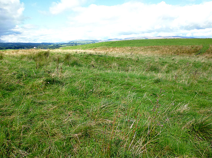 Earthwork in Carrowneden (tireragh By.)Earthwork · 568 yd
Explorer Tom Earthwork in Carrowneden is a small hilltop circle that has a triangulation station on top, which means it’s been…
 Cist in Carrowneden (tireragh By.)Cist · 1000 yd
Explorer Tom Cist in Carrowneden is haunted by a poet who fell in the ditch nearby and never recovered his dignity. He’s still…
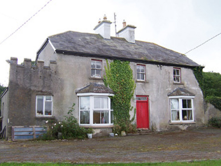 MeadowsideHouse · 1296 yd
Explorer Tom Meadowside in Kilglass has a half-hipped roof that Saint Patrick would have called 'a bit much' and 'very Irish'. It’s…
 CastleCastle, unclassified · 1.1 mi
Explorer Tom Castle in Kilglass would post a selfie with the caption 'Living my best life' right now. It’s based on a land grant…
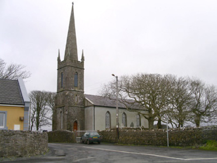 Kilglass ChurchChurch/chapel · 1.1 mi
Explorer Tom Kilglass Church in Kilglass is locked in a bitter feud with the rain, claiming it can handle the weather better than…
 St. Patrick's CemeteryCemetery · 1.2 mi
Explorer Tom St. Patrick's Cemetery is bragging about surviving a storm so fierce it blew a cow into the sky, though I suspect that…
 Enniscrone/Kilglass GAA pitchGAA ground · 1.5 mi
 Inishcroane CastleHouse, fortified house · 1.8 mi
Explorer Tom Inishcroane Castle has a massive, ongoing dramatic feud with the nearest tree over who gets the sunlight. It’s a…
 Castle FieldsPark · 1.9 mi
Explorer Tom Castle Fields in County Sligo acts like it’s the most exclusive club in town, which is rich given how many people…
 Wild Atlantic Way: Inishcrone PierVisitor information · 2.2 mi
Explorer Tom Inishcrone Pier looks like it’s plotting an escape plan, possibly because it’s tired of being just a sign for people…
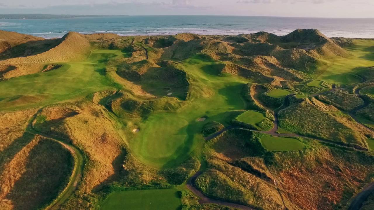 Enniscrone Golf ClubGolf course · 2.8 mi
More archaeology and monuments in County Sligo · All of County Sligo

What do you know about this place?Tap to add a comment or ask a question