What is recorded here
In pasture, located on top of an oval knoll in an area of rolling grassland, providing excellent views, especially to SW towards Nephin and the Nephin Beg Range.
The flat top (22.6m N–S; 16.5m E–W) of the knoll was used as a burial plot by the Knox family of Rappa Castle. Twenty six graves were noted, which all appear to date to the 19th-century.
The overall dimensions of the knoll are c. 60-70m N-S by c. 45-50m with broadly slumped sides at E–SW. It is c. 2.5m in height at N and c. 4.5m at S. A low bank or scarp defines the base of the knoll, clearly seen at the S, but less distinct at W and N. The E side of the knoll has been partly quarried away. The knoll is grass covered, with beech trees planted on its slopes.
Compiled by: Jane O’Shaughnessy
Date of upload: 13 April 2018
Neolithic passage tomb; dates to the 4th–3rd millennium BCE. Its location on an elevated knoll suggests it was a significant ceremonial or communal burial site, offering strategic visibility and possibly spiritual or symbolic alignment with the surrounding landscape.
The monument record does not grant public access. Check the route and ask the landowner before entering private land.
- What survives
- Recorded monument
Places near here
 IndicatedFairy fort / earthen ringfort · 349 yd
 Rappa CastleHouse, 16th/17th century · 543 yd
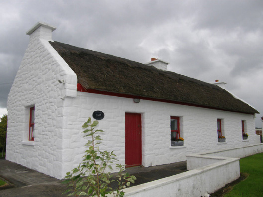 Kelly's Cottagehouse · 1142 yd
 RathnamuffFairy fort / earthen ringfort · 1483 yd
 Deel CastleCastle · 1.8 mi
 CastleCastle, tower house · 2.0 mi
 Battle of Ballinabattle · 3.6 mi
 Belleek WoodsWood · 4.2 mi
 FloretteWreck · 4.4 mi
 Rinphilip PointHeadland · 4.4 mi
 Castle IslandIslet · 5.0 mi
 Roe IslandIslet · 5.0 mi