What is recorded here
Immediately N of the Galway-Roscommon road, along which the td. boundary runs. Marked on 3rd ed. of OS 6-inch map (1932) as a roughly pear-shaped area (N-S c. 40m, E-W c. 25m). This contrasts markedly with 1st ed. of OS 6-inch map where it is named 'Burial Ground' and is indicated by a very large circular area (D c. 90m) straddling the road and defined by a broken line that cuts across the field pattern, it actually encompasses part of a house cluster. The remains presently visible are situated in its NW quadrant and comprise a subrectilinear enclosure (N-S 31.7m, E-W c. 24m) defined by the grassed-over foundation lines of a wall. Traces of wall-facings are visible in one or two places. In the interior, orderly rows of small undressed stones indicate burials oriented ENE-WSW.
The above description is derived from the published 'Archaeological Inventory of County Galway Vol. II - North Galway'. Compiled by Olive Alcock, Kathy de hÓra and Paul Gosling (Dublin: Stationery Office, 1999).
Date of upload: 05 August 2010
The monument record does not grant public access. Check the route and ask the landowner before entering private land.
- What survives
- Recorded monument
Places near here
 IndicatedEnclosure · 28 yd
 Stone CirclesFairy fort / stone ringfort · 640 yd
 bridgebridge · 887 yd
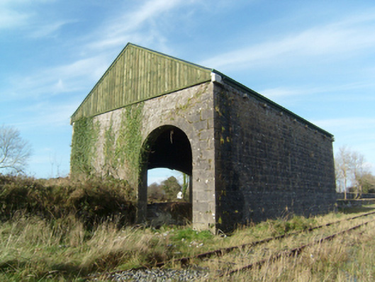 store/warehousestore/warehouse · 1085 yd
 CastleCastle, unclassified · 1.6 mi
 Common WhitebeamCommon Whitebeam · 1.7 mi
 SycamoreSycamore · 1.8 mi
 Knockmoy AbbeyHeritage attraction · 1.9 mi
 Castle FrenchCastle, unclassified · 2.3 mi
 Mass RockNamed rock · 9.5 mi
 Oileán an AoilIsland · 13 mi
 Oileán an BhreathnaighIslet · 13 mi