What is recorded here
Marked faintly as a rectangular burial ground (dims c. 40m NW-SE; c. 30m NE-SW) on the 1837 ed. of the OS 6-inch map, and situated on the gentle NE-facing slope of a rise. There is no evidence of burial at church site (RO006-059001-).
Compiled by: Michael Moore
Date of upload: 24 August 2010
The monument record does not grant public access. Check the route and ask the landowner before entering private land.
- What survives
- Recorded monument
Places near here
 Kiltidean Church and Burial Ground (Site of)Church · 38 yd
 ToberdorraghHoly well · 770 yd
 Rockingham Housegate lodge · 952 yd
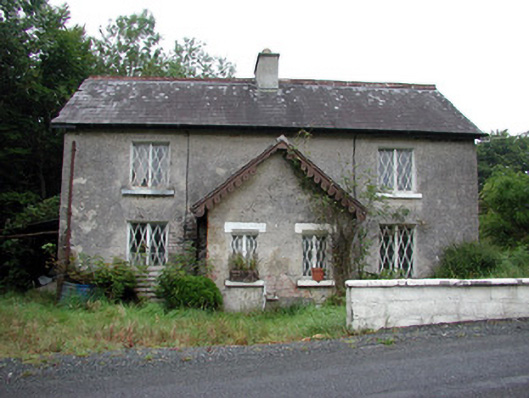 worker's houseworker's house · 1208 yd
 Errironagh WoodForest · 1.2 mi
 Longford HillMountain / peak · 1.2 mi
 Castle IslandIslet · 1.6 mi
 Green IslandIslet · 1.6 mi
 Horse-chestnutHorse-chestnut · 1.7 mi
 Lough Key Forest ParkWood · 2.0 mi
 Erris BayBay · 2.6 mi
 Moylung Castle (in ruins)Castle, unclassified · 3.6 mi