What is recorded here
In 1949, sand-diggers at Aghade in County Carlow broke through soil and revealed at least eight early Christian burials. The dead lay stretched flat, heads pointing north or north-north-west, without grave goods or protective covering. Only one burial was formally excavated before the sand operation moved on, leaving the full extent of the cemetery unknown. The site remains a quiet warning that much of Ireland's early medieval landscape still waits beneath ordinary ground.
The following description is derived from the published 'Archaeological Inventory of County Carlow' (Dublin: Stationery Office, 1993). In certain instances the entries have been revised and updated in the light of recent research.
Date of upload/revision: 17 July 2007
Rectangular area, partly enclosed by stone wall (dims. c. 50m N-S x 45m E-W). Four nineteenth-century gravestones visible. No trace of any structure. Possible estate graveyard.
The monument record does not grant public access. Check the route and ask the landowner before entering private land.
- What survives
- Recorded monument
Places near here
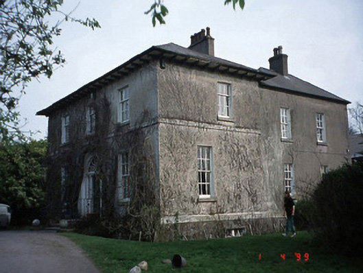 Evington Househouse · 827 yd
 Castle (in ruins)Castle, tower house · 894 yd
 Church in ShruleChurch · 915 yd
 Church (in ruins), GraveyardChurch · 1488 yd
 CastleCastle, unclassified · 1490 yd
 Enclosure in GothamEnclosure · 1652 yd
 Enclosure in AnnevilleEnclosure · 1.0 mi
 Pedunculate OakPedunculate Oak · 1.2 mi
 Oak Park Forest ParkWood · 1.5 mi
 VISUAL Centre for Contemporary ArtGallery · 2.5 mi
 Carlow CastleRuined medieval castle · 2.6 mi
 Killeshin ChurchVisitor information · 3.3 mi