
What is recorded here
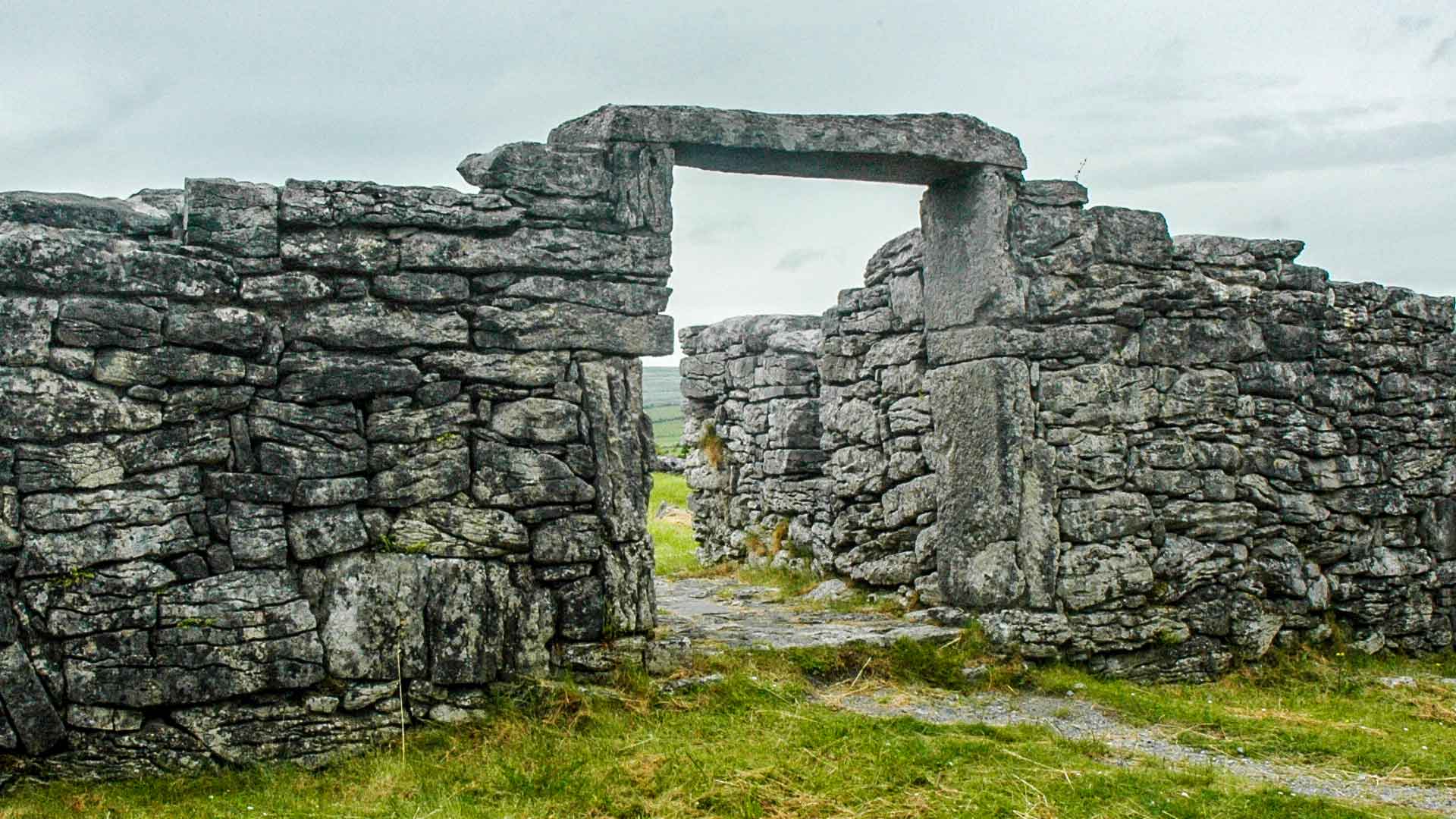
On a gentle E-facing pasture slope c. 200m E of the N-flowing Strade River. According to the Ordnance Survey Letters for Co. Mayo (1838, 361 (148)), ‘At the burying ground is a pointed gateway six and a half feet [c. 1.98m] in height and five feet [c. 1.5m] in breadth’. A rectangular-shaped area (L 40m E-W; Wth 30m…
Read the whole record
From the National Monuments Service (Archaeological Survey of Ireland) record MA070-068002
Places near here
Photo credits
- National Inventory of Architectural Heritage
- Maker not stated on source page, www.tripadvisor.ie
- Andreas F. Borchert, Wikimedia Commons · CC BY-SA 4.0
- Tripadvisor contributor; photographer not stated, Tripadvisor
- Pamela Norrington, Geograph · CC BY-SA 2.0
- Maker not stated on source page, www.pinterest.com
- Western People; photographer not stated (Stuart Tynan is article author), www.westernpeople.ie
- Maker not stated on source page, monumentalireland.ie
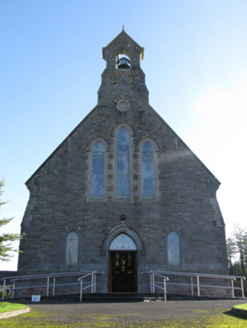 Catholic Church of Saint Peter and Saint PaulChurch/chapel · 178 yd
Explorer Tom Saint Peter and Saint Paul has had so many names that it’s lost track of what to call itself. It keeps changing its…
 Abbey (Site of)Religious house, Franciscan friars · 259 yd
Explorer Tom The Abbey in Strade was designed by a mother-in-law who wanted everyone to feel slightly cramped. The friars moved out…
 Abbey in RuinsReligious house, Dominican friars · 259 yd
Explorer Tom Abbey in Ruins in Strade has a prophecy that it’ll turn into a pub by 2050, which seems unlikely. The friars were…
 Michael Davitt MuseumMuseum · 275 yd
Explorer Tom Michael Davitt has a museum in the Mayo village of Straide where he was born, raised and buried, which is a tidy enough…
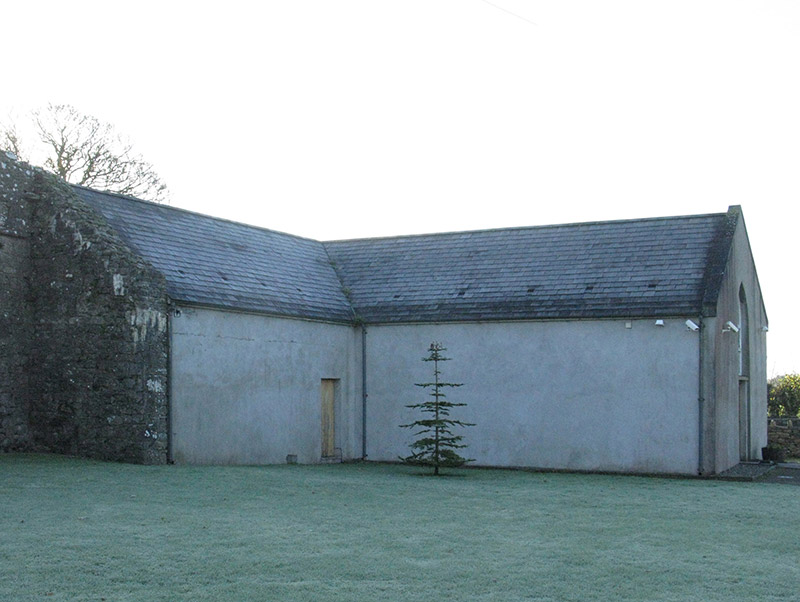 church/chapel276 yd
Explorer Tom Church or chapel in Strade has that traditional T-shaped plan form aligned correctly for liturgy, which is quite…
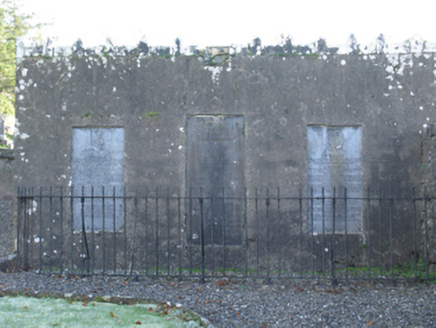 mausoleum277 yd
Explorer Tom Mausoleum in Strade was built in 1813 by Peter Quin on orders from Robert G Rookwood, which sounds like a very serious…
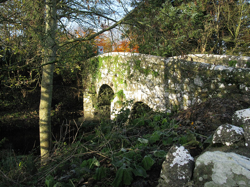 bridge314 yd
Explorer Tom Bridge in Knockshanbally crosses the Strade River with an elegant arch that makes it look better than it actually is.…
 Ballylahan Castle in RuinsCastle, Anglo-Norman masonry castle · 1.2 mi
Explorer Tom Ballylahan Castle in Ruins would survive a zombie attack by just letting them trip over its own massive stone…
Ballylahan CastleCastle · 1.2 miExplorer Tom Ballylahan Castle had an escape plan that involved running out the back door and never looking back, which worked well…
 Ballyvary, Ballyvary HurlingGAA ground · 2.7 mi
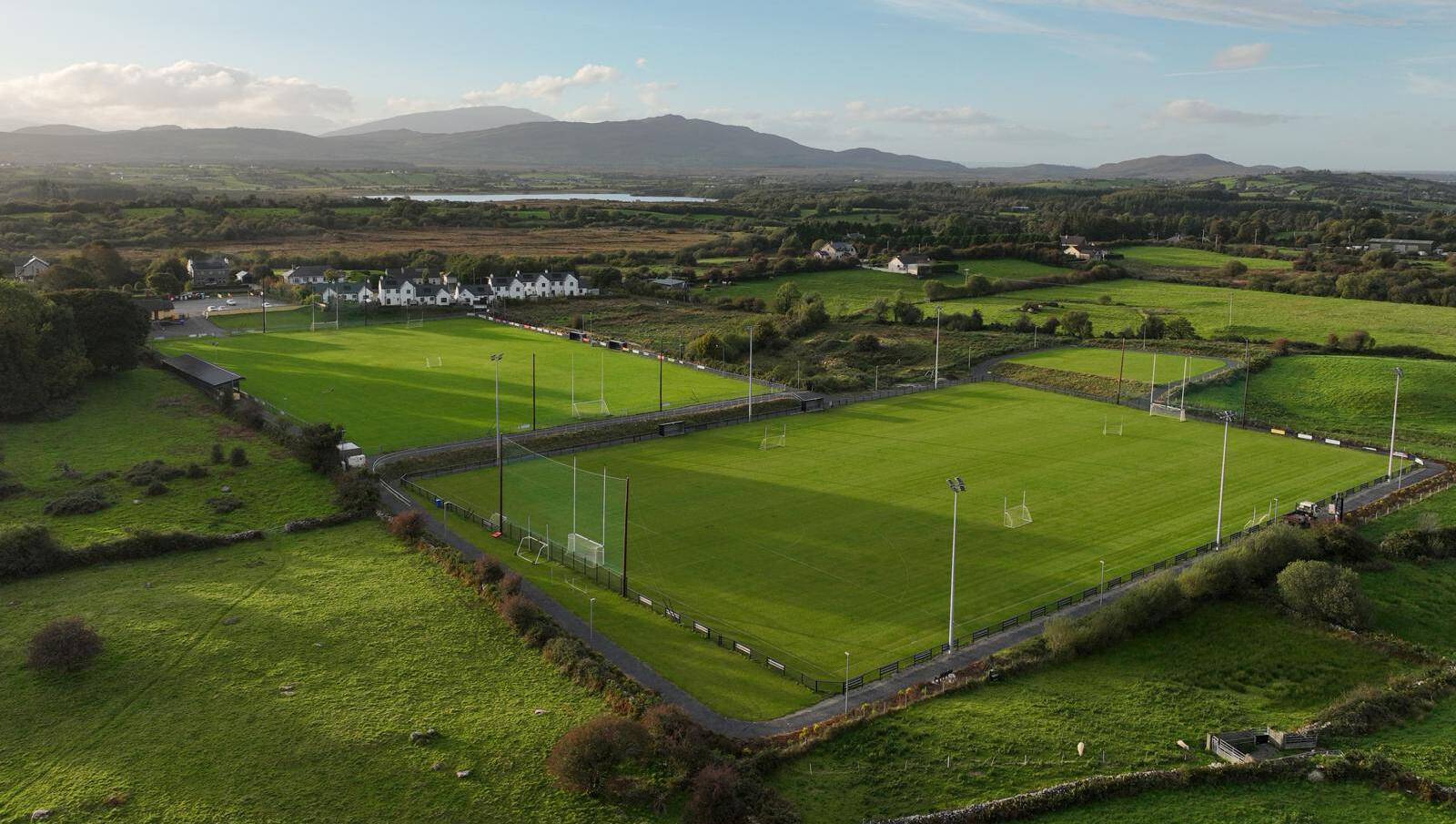 Parke, Parke-Keelogues-Crimlin GAAGAA ground · 2.9 mi
 Fairy fort / ringfort in GortnafollaFairy fort / ringfort · 4.6 mi
Explorer Tom Fairy fort / ringfort in Gortnafolla is absolutely sick of being asked if it’s haunted because, honestly, it’s just a…
More archaeology and monuments in County Mayo · All of County Mayo

What do you know about this place?Tap to add a comment or ask a question