What is recorded here
A graveyard (diam. 76.8m N-S; 71m E-W) enclosing the crest and SW slope of a hill in hilly terrain, under pasture. The N and W sides of the graveyard are straight, while the S and E sides are curving, possibly indicating the curve of an earlier ecclesiastical enclosure (TS077-078002-). The much denuded church (TS077-078001-) is situated W of centre, on the crest of the hill, within the graveyard. The earliest visible headstone is on the W side of the graveyard and dates to 1797, the headstones are mainly of 19th-century date with some 20th-century examples. All headstones, except one altar tomb, are S of the church to the E and W. The church is not indicated on the 1st (1840) ed. OS 6-inch map where the graveyard is indicated as 'Burial Ground'.
Compiled by: Jean Farrelly
Date of upload: 26 August 2011
The monument record does not grant public access. Check the route and ask the landowner before entering private land.
- What survives
- Recorded monument
Places near here
 Burial GroundEcclesiastical enclosure · 1 yd
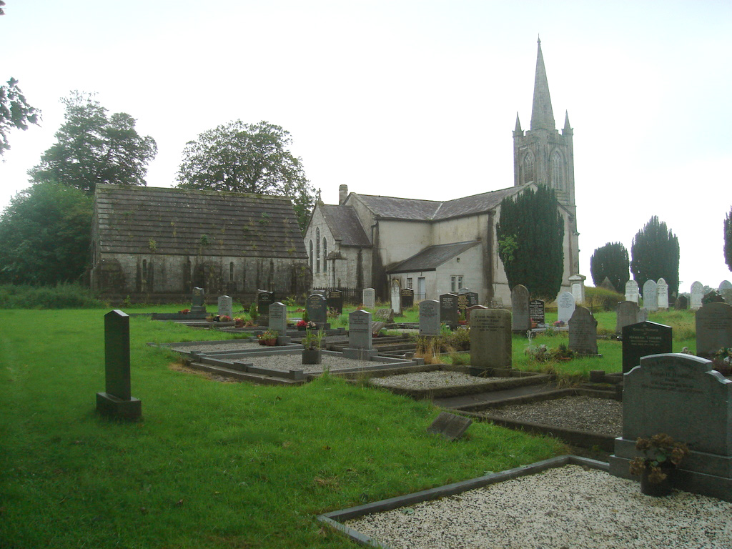 Church (in Ruins)Church · 14 yd
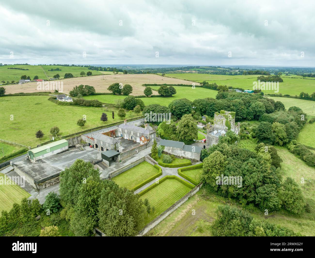 Enclosure in Lawlesstown (kiltegan Par.)Enclosure · 873 yd
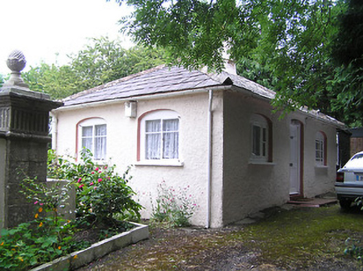 Summerhill Housedemesne walls/gates/railings · 1154 yd
 Toberaheena WellSpring · 1.7 mi
 RathronanCastle, ringwork · 1.7 mi
 Siege of Clonmelsiege · 1.8 mi
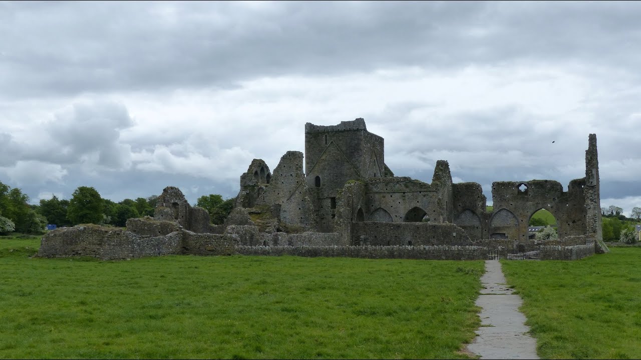 Gairdín Gharraí na LeadhbMemorial · 1.8 mi
 VestryCastle · 1.9 mi
 Vincent HanleyMemorial · 2.0 mi
 Grubb's IslandIslet · 2.1 mi
 Merchant's HouseVisitor information · 2.1 mi