What is recorded here
Located at the S end of a N-S spur between the estuary of the NE-SW Kilmacleague Pill to the E and the reclaimed lands of the Tramore Back Strand to the W. The parish church of Kilmacleague (WA027-019001-) survives as foundations. There is no evidence of the graveyard described as 'deserted' by O'Donovan c. 1840 (O'Flanagan 1929, 10-11) and depicted as a rectangular area (dims. c. 40m E-W; c. 30m N-S) around the church on the 1840 ed. of the OS 6-inch map.
O'Flanagan, M. (Compiler) (1929) Letters containing information relative to the antiquities of the county of Waterford collected during the progress of the Ordnance Survey in 1841. Typescript. Bray.
Compiled by: Michael Moore
Date of upload/revision: 10 June 2011
The monument record does not grant public access. Check the route and ask the landowner before entering private land.
- What survives
- Recorded monument
Places near here
 Church (in ruins)Church · 33 yd
 Field boundary in Kilmacleague WestField boundary · 36 yd
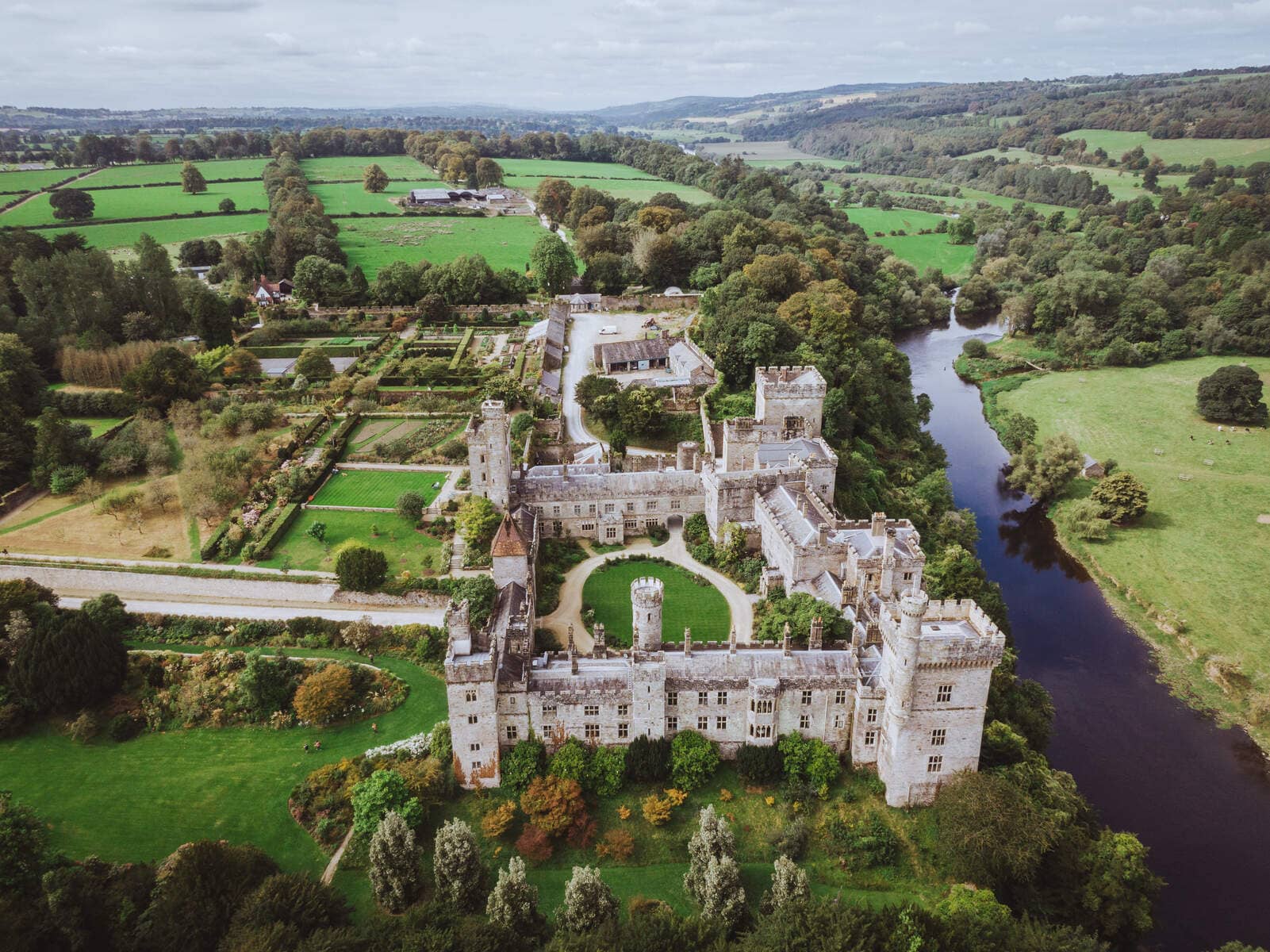 Lisnageragh fortFairy fort / ringfort · 563 yd
 Lower ForestWood · 1432 yd
 Main ForestWood · 1542 yd
 Corbally Moreoutbuilding · 1708 yd
 The Baldy ManViewpoint · 1.3 mi
 Memory of the crew of "Rescue 111"Memorial · 1.6 mi
 South East Coastal DriveVisitor information · 1.9 mi
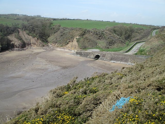 Ballymacaw CoveBeach / strand · 2.0 mi
 Tramore StrandBeach / strand · 2.2 mi
 Rathmoylan-Ballymacaw Cliff WalkWalking route · 2.3 mi