
What is recorded here
This is a National Monument in State ownership (No. 423). It is shown on the 1837 OS 6-inch map as rectangular enclosed area (c. 20m E-W; c 13m N-S) marked 'Burial ground', and on the 1920 edition as an oval area, indicated by a dotted line, marked 'Giant's Grave' and Burial ground (disused)'. It consists of a low,…
Read the whole record
From the National Monuments Service (Archaeological Survey of Ireland) record MA044-009001
Places near here
Photo credits
- National Inventory of Architectural Heritage
- Maker not stated on source page, uk.pinterest.com
- Maker not stated on source page, monumentalireland.ie
- Maker not stated on source page, en.wikipedia.org
- Maker not stated on source page, ph.pinterest.com
- Maker not stated on source page, tr.pinterest.com
- Maker not stated on source page, www.theirishroadtrip.com
- dougf, Geograph · CC BY-SA 2.0
- dougf, Wikimedia Commons · CC BY-SA 2.0
- Brendan Moran / Sportsfile, credited by Western People, www.westernpeople.ie
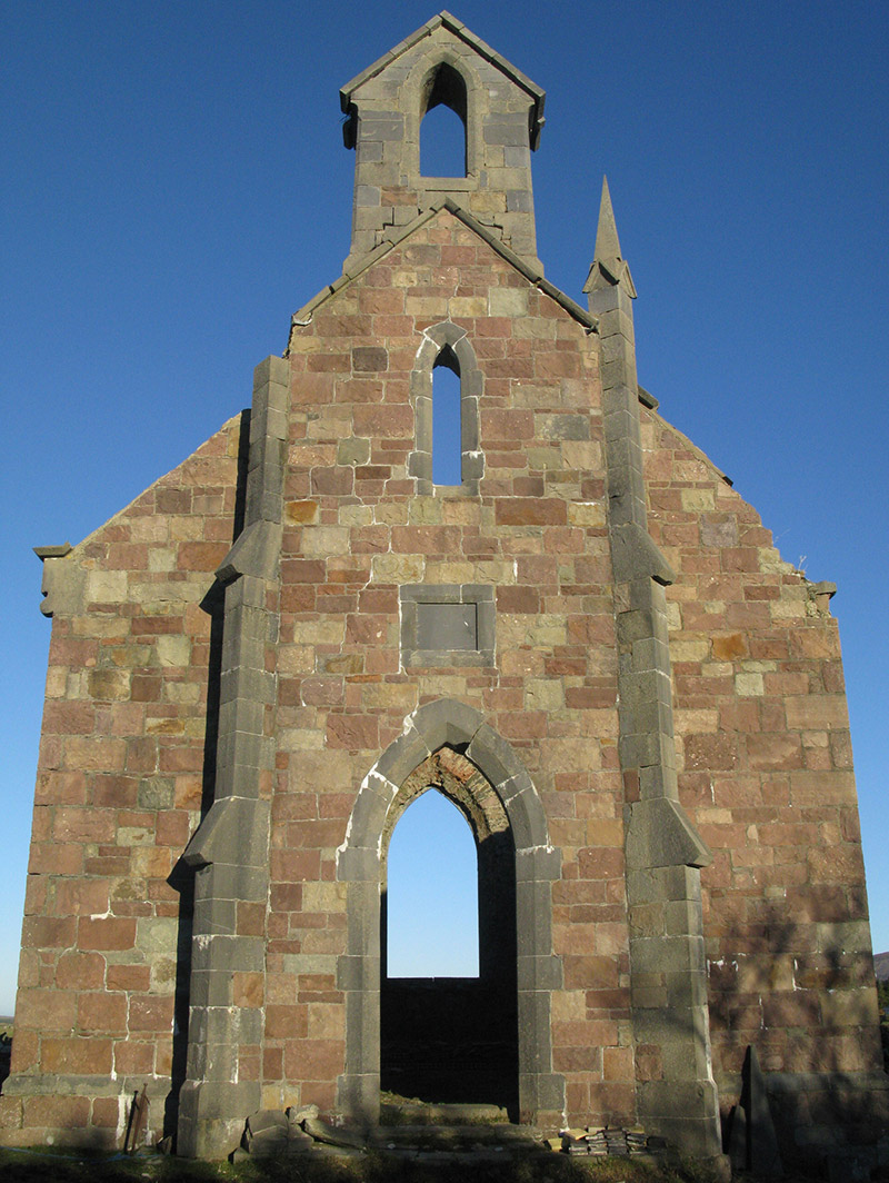 Holy Trinity Church (Ballycroy)Church/chapel · 1680 yd
Explorer Tom Holy Trinity Church in Ballycroy was built by a Lieutenant-Colonel who clearly loved his architecture more than his…
 IllanroeIslet · 1695 yd
Explorer Tom Illanroe ended up in the wrong place because it got drunk one night and wandered off while looking for a friend. It…
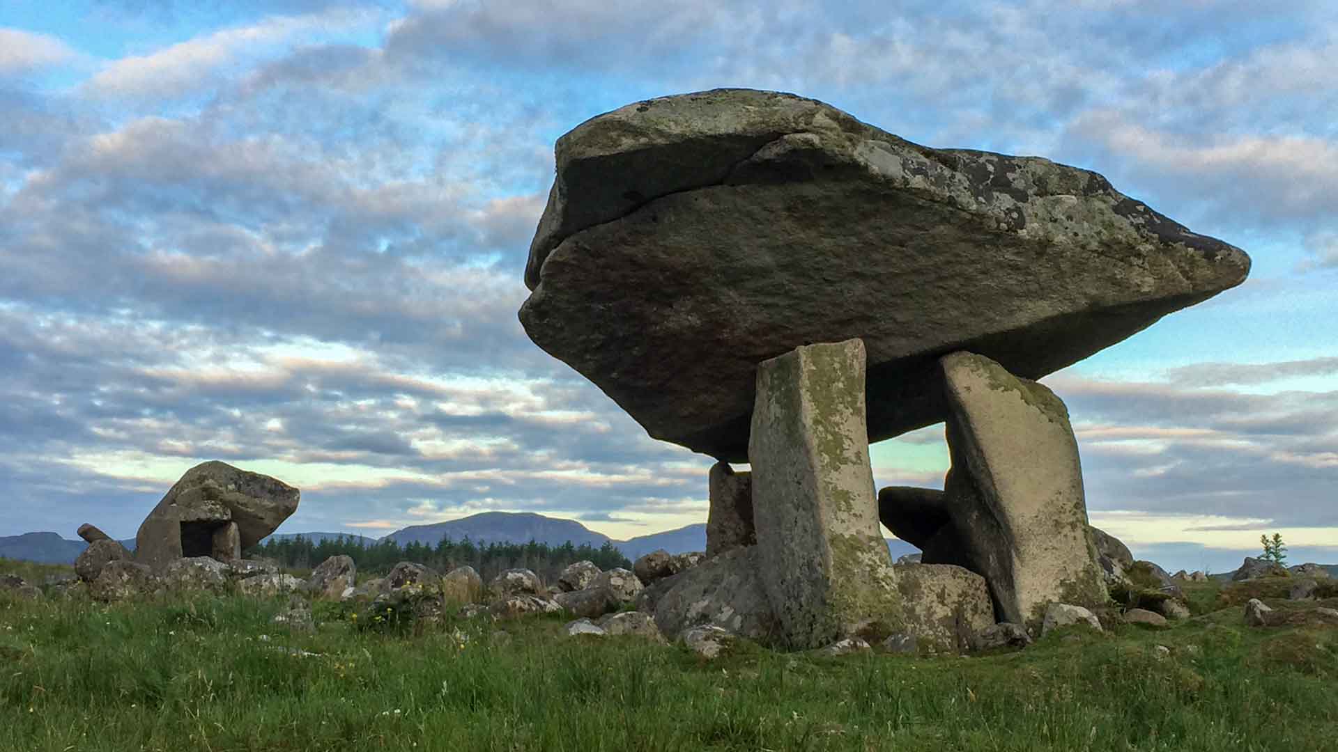 Portal tomb in An CloigeannPortal tomb · 1.2 mi
Explorer Tom Portal tomb in An Cloigeann claims to be older than the sun, which is a bold statement given it can’t even stand up…
 GlassillanIslet · 1.3 mi
Explorer Tom Glassillan is where a priest lost a bet about how far he could skip a stone. He missed so badly he sank into the sand…
 Rock HouseHunting/fishing lodge · 1.3 mi
Explorer Tom Rock House in Claggan is a fishing lodge with an eye-catching tower that makes it look like it’s trying to signal…
 Cross-inscribed stone in An CloigeannCross-inscribed stone · 1.4 mi
Explorer Tom Cross-inscribed stone in An Cloigeann hosted a dance that went way too far last century. The gossip it’s heard is…
 Claggan GraveyardCemetery · 1.4 mi
Explorer Tom Claggan Graveyard hosted a dance once that went too far, and now everyone is pretending it never happened to save face.…
 Trá Dhún IbhirBeach / strand · 4.0 mi
Explorer Tom Trá Dhún Ibhir is having a bit of a tantrum because I can't find it on my map, which is funny considering it's right…
 HouseHouse, fortified house · 4.8 mi
Explorer Tom House in Fahy would be the awkward uncle at the wedding, standing by the cake with no idea what's happening. It just…
 Fahy or Doona Castle in ruinsCastle, tower house · 4.8 mi
Explorer Tom Fahy or Doona Castle in ruins is hosting a fiddler who never left his post. He’s been playing since the last ice age…
 Polranny New CemeteryCemetery · 4.9 mi
Explorer Tom Polranny New Cemetery in County Mayo is right next to where a terrible love story ended with a broken fiddle and a very…
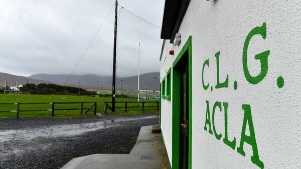 Davitt Park, Achill GAAGAA ground · 5.0 mi
More archaeology and monuments in County Mayo · All of County Mayo

What do you know about this place?Tap to add a comment or ask a question