What is recorded here
Death kept its own ledger beneath Templemoyle, spilling into sandpit buckets from 1952 onward. A bronze-coated iron hand-bell and a graveslab marked OROIT AR MAELPOIL emerged in 1979, tying the shallow east-west graves to the neighbouring churches. The dead had waited patiently for ordinary work to uncover them.
On a low glacial rise, c. 100m NE of 'Templemoyle Church' (GA084-127002-) and c. 240m SE of 'Templebally' (GA071-082003-). During the extraction of sand and gravel from a sandpit, burials have been recurrently found at various intervals since 1952. They have been variously reported as being only c. 0.4-0.6m below ground surface and aligned E-W (Topgr. Files, NMI) In 1979, a graveslab (GA051-082005-) bearing the inscription 'OROIT AR MAELPOIL' and a large bronze-coated iron hand-bell of 7th-9th-C date were discovered at the site, indicating that the burial ground was probably associated with the adjoining churches (pers. comm. Prof. Rynne).
The above description is derived from the published 'Archaeological Inventory of County Galway Vol. II - North Galway'. Compiled by Olive Alcock, Kathy de hÓra and Paul Gosling (Dublin: Stationery Office, 1999).
Revised by: Paul Walsh
Date of revision: 1 December 2011
The monument record does not grant public access. Check the route and ask the landowner before entering private land.
- What survives
- Recorded monument
Places near here
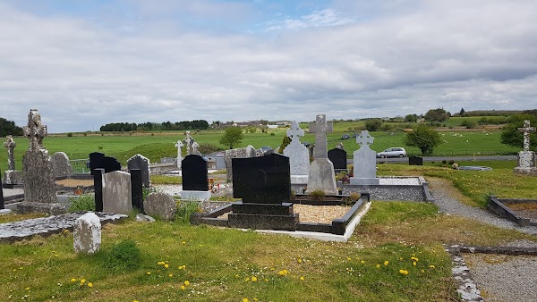 Templemoyle ChurchChurch · 148 yd
 Ecclesiastical enclosure in Templemoyle (graigabbey Ed)Ecclesiastical enclosure · 151 yd
 TempleballyReligious house, Franciscan Third Order Regular · 257 yd
 NewcastleCastle, unclassified · 680 yd
 Enclosure in MontpelierEnclosure · 1.1 mi
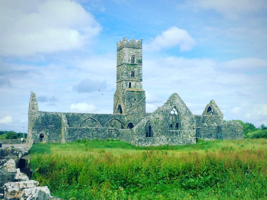 Cloonbrusk Castle (in ruins)Castle, unclassified · 1.8 mi
 First Battle of Athenrybattle · 3.0 mi
 Horse-chestnutHorse-chestnut · 3.4 mi
 Athenry CastleHeritage attraction · 3.5 mi
 Athenry AbbeyHeritage attraction · 3.6 mi
 The HazelWood · 4.0 mi
 Menlough IRAMemorial · 7.5 mi