What is recorded here
Skarragh in County Cork, Ireland holds a lost burial ground hidden beneath repeated ploughing. The field is called Pairc na Cille, meaning church field, but no church or grave marker remains visible. Men and women may have laid dead there before soil and seed erased the shape of the place.
Bowman (1934, 556) recorded field in W. O'Callaghan's known as 'Pairc na Cille - church field. Field has been tilled many times - no remains of church (CO041-171002-) or burial ground now to be seen.' (ibid.). Exact location not known.
The above description is derived from the published 'Archaeological Inventory of County Cork. Volume 4: North Cork' (Dublin: Stationery Office, 2000). In certain instances the entries have been revised and updated in the light of recent research.
Date of upload/revision: 14 January 2009
The monument record does not grant public access. Check the route and ask the landowner before entering private land.
- What survives
- Recorded monument
Places near here
 Man-made underground passage in GlantaneMan-made underground passage · 563 yd
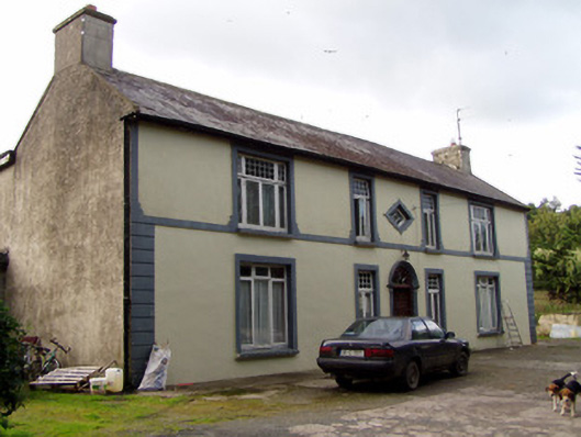 Aldworth Househouse · 817 yd
 Aldworth Lodgehouse · 857 yd
 CaveMan-made underground passage · 1054 yd
 Dromaneen CastleHeritage attraction · 2.2 mi
 Bweeng LittleMountain / peak · 2.7 mi
 Gurteenkreen Castle (Site of)Castle, unclassified · 4.0 mi
 In loving memory of Elvis O'DonoghueMemorial · 4.3 mi
 Mount HillaryMountain / peak · 4.5 mi
 Mallow Castle RuinRuins · 4.9 mi
 Mount Hillary - Knightfield LoopWalking route · 5.1 mi
 Mount Hillary - Mount Hillary LoopWalking route · 5.1 mi