
What is recorded here
Situated on flat ground close to the S bank of the Clodiagh River. Described by Power (1952, 411) as a 'cillín' consisting of a square area, half an acre in size. It was reputedly located close to a large evergreen tree at the roadside, but is not visible at ground level. Archaeological testing (02E0061) on the W side…
Read the whole record
From the National Monuments Service (Archaeological Survey of Ireland) record WA007-058
Places near here
Photo credits
- Rathgormack GAA Club; photographer not named, rathgormack.clubzap.com
- Maker not stated on source page, www.tripadvisor.com
- National Inventory of Architectural Heritage
- Maker not stated on source page, www.wildernessireland.com
- Maker not stated on source page, victorianweb.org
- Maker not stated on source page, en.wikipedia.org
- Kmcnamee, Wikimedia Commons · CC BY-SA 4.0
- Maker not stated on source page, irelandinruins.blogspot.com
- Maker not stated on source page, www.pinterest.com
- Algirdas at Lithuanian Wikipedia, Wikimedia Commons · Public domain
- kevin higgins, Geograph · CC BY-SA 2.0
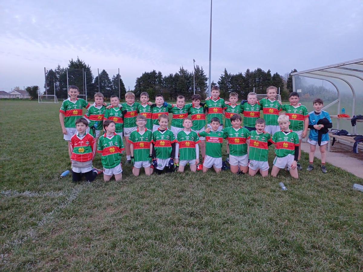 Curry Park, RathgormackGAA ground · 1.4 mi
 Graveyard in CoolnahornaGraveyard · 1.5 mi
Explorer Tom Coolnahorna’s graveyard might just be animal bones pretending to be human, which is a bold move for a field at the…
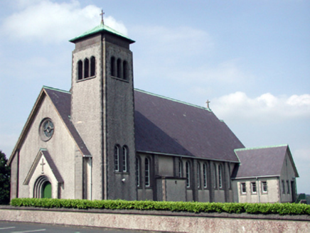 Catholic Church of the Sacred Heart of JesusChurch/chapel · 1.6 mi
Explorer Tom Catholic Church of the Sacred Heart in Carrowleigh would tell its replacement that it’s got better lighting and less…
 Bullaun stone in KnocknacrehaBullaun stone · 1.6 mi
Explorer Tom Bullaun stone in Knocknacreha started as a bet between two lads who were too tired to dig properly. One lad lost and…
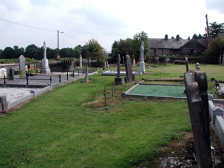 graveyard/cemetery1.6 mi
Explorer Tom Graveyard or cemetery in Carrowleigh has a superstition that if you step on the grass, you owe a penny. Three tombs sit…
 Rathgormack Church CemeteryGraveyard · 1.6 mi
Explorer Tom Rathgormack Church Cemetery in County Waterford is clearly run by a very stern terrier that hasn't been walked since…
 Boundary stone (present location) in KnocknacrehaBoundary stone (present location) · 1.6 mi
Explorer Tom Boundary stone in Knocknacreha is called 'Cloch na gCeann', which I'm pretty sure means 'Rock of the Heads' but sounds…
 Clonea Power GAA pitchGAA ground · 1.9 mi
 Rathgormuck Castle (in ruins)Castle, tower house · 2.0 mi
Explorer Tom Rathgormuck Castle would bring a bottle of stout and a grudge to any party it ever attended. The Power family lost it…
 Ballyclohy CastleRuins · 4.2 mi
Explorer Tom Ballyclohy Castle has a secret fan club of local crows who bring it shiny bits of foil and call them diamonds, making…
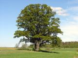 Pedunculate Oak5.9 mi
Explorer Tom Pedunculate Oak in County Waterford was skipped by the bishop because he couldn’t find his reading glasses and didn’t…
 SeefinMountain / peak · 6.8 mi
Explorer Tom Seefin is where the rabbits go to judge your outfit and your life choices without saying a word. They look at your…
More archaeology and monuments in County Waterford · All of County Waterford

What do you know about this place?Tap to add a comment or ask a question