What is recorded here
Discovered during the excavation of foundations for a house in 2004 (Excavation Licence No. 04E1559). Field once referred to as 'Pairc na Reilige'. Seven lintel graves, at least three of which had been reopened for secondary interments were uncovered. A further six probable lintel graves were visible in section faces, these were left in situ. A crouched female inhumation and a badly truncated extended inhumation were found 10m away from the concentration of lintel graves.
A second group of Early Christian burials were revealed to the west of the house alongside a flat cemetery (LH008-122----). These comprised of one adult and nine juveniles in simple pit graves. (Campbell 2007, 268-9)
Reference:
Campbell K. 2007 Rampark Early Christian cemetery, Man-made underground passages; Bronze Age cremations. In I. Bennett (ed.), Excavations 2004: summary accounts of archaeological excavations in Ireland, 268-9 (No. 1122). Bray. Wordwell
Compiled by: Claire Breen
Date of upload: 13 March 2012
Portal dolmen; dates to the Neolithic or early Bronze Age. The reopening of at least three graves suggests complex funerary practices and long-term use of the site.
The monument record does not grant public access. Check the route and ask the landowner before entering private land.
- What survives
- Recorded monument
Places near here
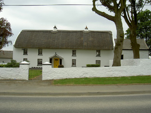 Rampark Farmhousehouse · 346 yd
 Saint Mary's Catholic Churchchurch/chapel · 476 yd
 Clough PatrickRitual site, holy/saint's stone · 1005 yd
 Mass-rock in AnnaloughanMass-rock · 1065 yd
 IndicatedBawn · 1.0 mi
 SlievenagloghMountain / peak · 1.2 mi
 Mount Bagnell FoerCastle, motte and bailey · 1.4 mi
 Annaloughan MountainMountain / peak · 1.6 mi
 The BushPicnic place · 2.8 mi
 Soldiers' PointHeadland · 3.5 mi
 Cooley MountainsMountain range · 3.9 mi
 Carlingford - Loop 1A- Commons LoopWalking route · 4.0 mi