What is recorded here
You need to judge the conflicting claims in that local area and act according to that judgement.
In tillage. Visible on aerial photographs (CUCAP AVM 12 (1968), CUCAP BDH 71 (1970) and Barrett GB90.BT.23 (1990)) as the soilmark of a small uncultivated area forming the NE corner of a larger rectangular area (est. L c. 65m ESE-WNW; c. 45m NNE-SSW) defined by the cropmark of a fosse. Regarded locally as being a burial ground. While the field has recently been levelled, the reputed burial site is still visible at ground level as slight stony rise.
Compiled by: Gearóid Conroy
Date of upload: 23 December 2013
The monument record does not grant public access. Check the route and ask the landowner before entering private land.
- What survives
- Recorded monument
Places near here
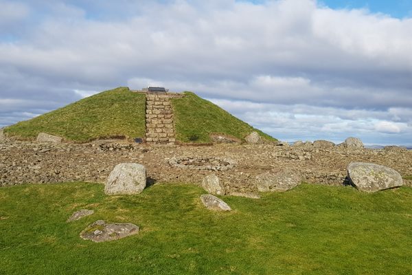 Enclosure in Nicholastown (grangemellon Ed)Enclosure · 873 yd
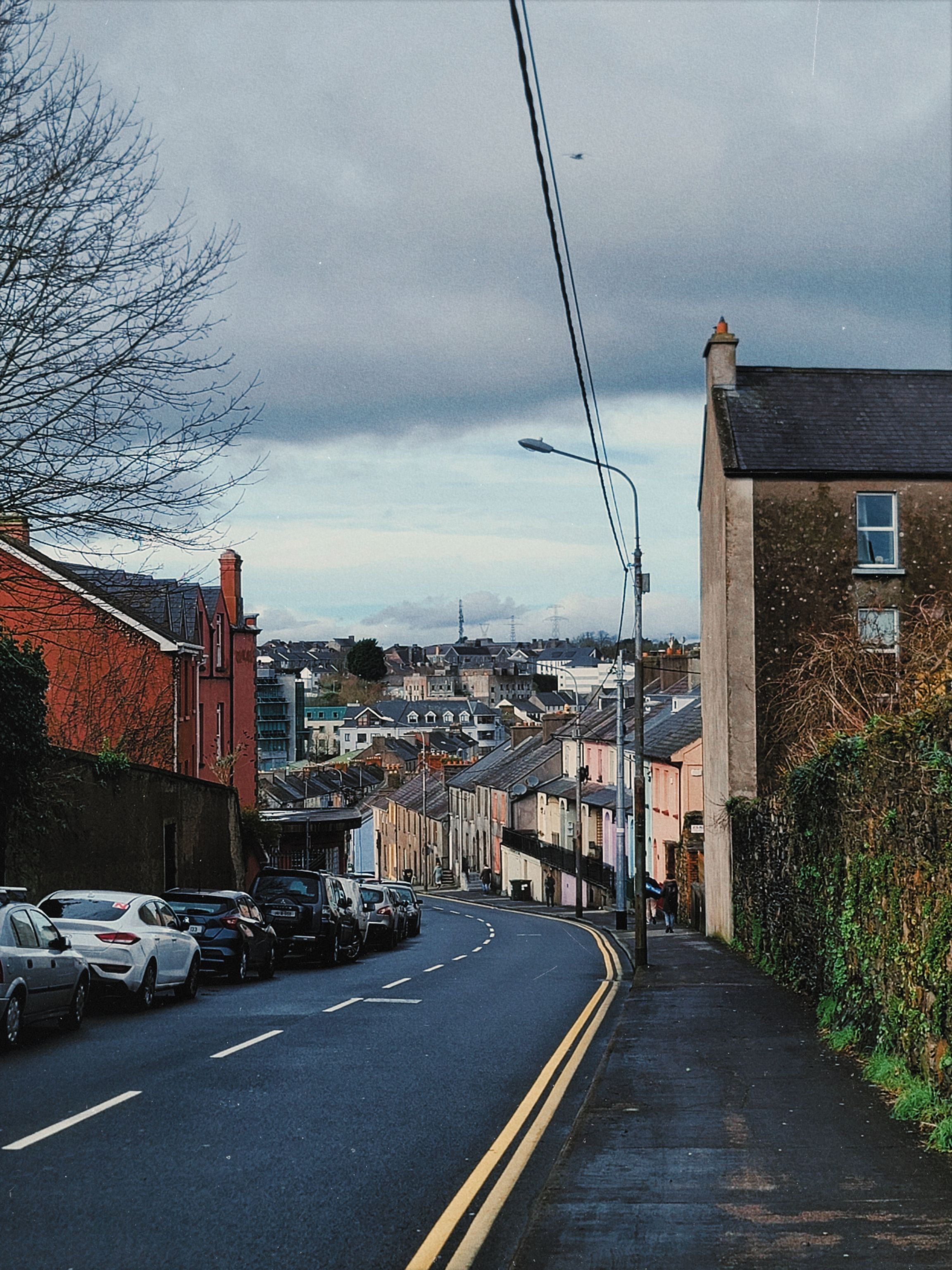 Irishtown WoodWood · 883 yd
 Enclosure in Grangerosnolvan LowerEnclosure · 1085 yd
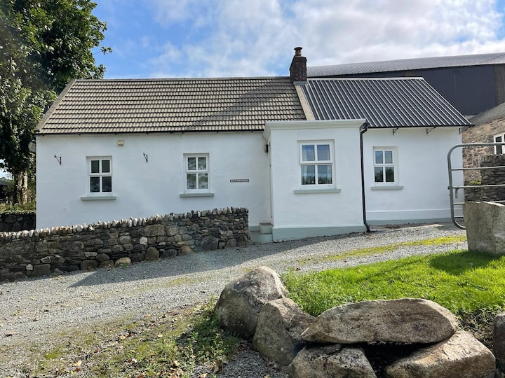 Ballycullane WoodForest · 1.1 mi
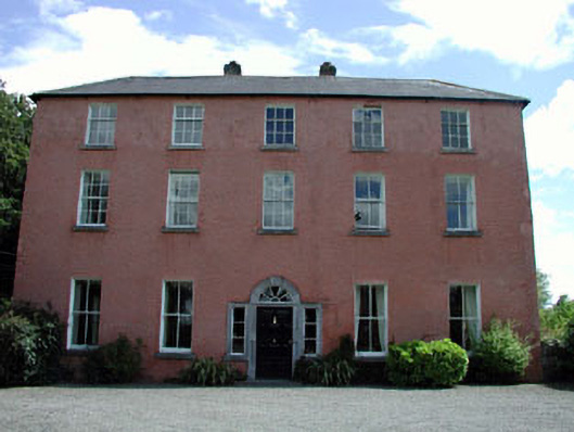 Dollardstown Housefarm house · 1.3 mi
 Whitechurch (in Ruins)Church · 1.5 mi
 Burtown House and GardensHeritage attraction · 1.7 mi
 Inch CastleCastle, tower house · 1.7 mi
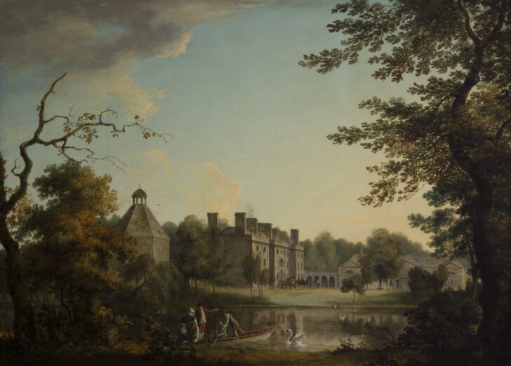 Belan HouseCastle, unclassified · 2.1 mi
 Lorcán Ó TuathailMemorial · 3.0 mi
 Gorden Bennet Race memorialMemorial · 3.5 mi
 History of Moat of ArdscullVisitor information · 3.5 mi