What is recorded here
Scattered bones lay east to west inside a wide ditch when men cut a trench for sewerage in Mell. They had forgotten the dead or never known them, but the shape remained visible enough to mark the boundary of a lost place. Forgetting does not erase every record. It only stops repeating the name, leaving the shape behind to wait for someone willing to see it.
The following description is derived from both the published 'Archaeological Inventory of County Louth' (Dublin: Stationery Office, 1986) and the 'Archaeological Survey of County Louth' (Dublin: Stationery Office, 1991). In certain instances the entries have been revised and updated in the light of recent research.
Date of upload/revision: 17 July 2007
Associated with the remains of Man-made underground passage (s) (LH024-012001- and LH024-012002-), discovered in 1983 during the course of cutting a trench for sewerage. The site was recorded by Mr C. Manning (OPW) who supervised the digging of trial trenches in 1985 and discovered a small enclosure (LH024-012004-). It was c. 50m in diameter and was defined by a ditch (Wth 2.5m, D 1.8m). The burials were very scattered but were seen to be orientated E-W and were not slab-lined. The Man-made underground passage and the burials were enclosed by the ditch.
The monument record does not grant public access. Check the route and ask the landowner before entering private land.
- What survives
- Recorded monument
Places near here
 Enclosure in MellEnclosure · 4 yd
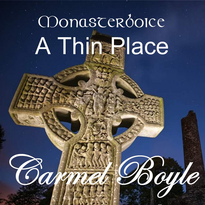 Toberboice WellHoly well · 102 yd
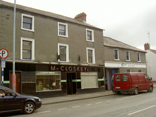 McCloskey'shouse · 1032 yd
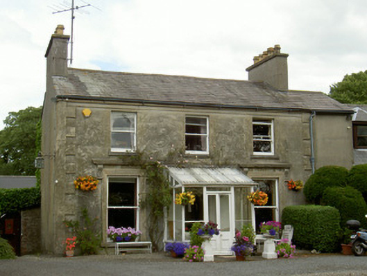 Boyne Viewhouse · 1157 yd
 St. Peter's ChurchMemorial · 1641 yd
 Magdalene TowerCastle · 1676 yd
 Newgrange Business ParkMemorial · 1710 yd
 Siege of Droghedasiege · 1.0 mi
 Yellow IslandIslet · 1.1 mi
 Millmount MuseumMuseum · 1.1 mi
 Grove IslandIslet · 1.4 mi
 Platin HouseCastle, unclassified · 2.2 mi