What is recorded here
Located on a gentle E-facing slope on the lower foothills of the Blackstairs Mountains with a N-S stream c. 70m to the E. The church field is a wedge-shaped grass and scrub-covered area (dims. c. 50-60m N-S; c. 25m E-W at N to c. 45m E-W at S) defined by a stone-clad earthen bank and hedge. The interior is stoney and two upright stones (dims. 0.3-0.4m; T 0.1m; H 0.1m) are probably grave-markers as there is a local tradition of burial. Bullaun stone (WX014-038001-) is c. 90m to the SE.
Compiled by: Michael Moore
Date of upload: 26 April, 2012
Wedge tomb; dates to the Late Neolithic or Early Bronze Age. Its location on a prominent slope suggests ceremonial or communal significance in the prehistoric landscape.
The monument record does not grant public access. Check the route and ask the landowner before entering private land.
- What survives
- Recorded monument
Places near here
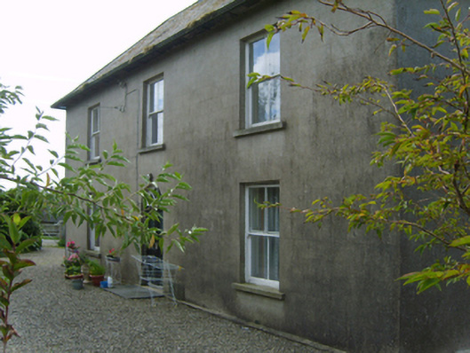 Cromoge Housefarm house · 1472 yd
 Black Rock MountainMountain / peak · 1.5 mi
 Structure in Ballycrystal,boladurraghStructure · 1.7 mi
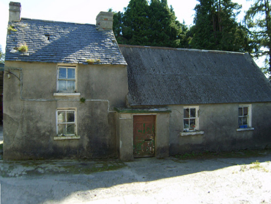 farm housefarm house · 1.9 mi
 Site of Clonmullen CastleCastle, unclassified · 2.2 mi
 Ecclesiastical enclosure in Bola BegEcclesiastical enclosure · 2.2 mi
 Moats of CraanMountain / peak · 2.6 mi
 St Bridget's WellSpring · 2.8 mi
 Carrickduff WoodWood · 3.1 mi
 Ryland Castle (in ruins)Castle, unclassified · 3.2 mi
 Common LimeCommon Lime · 3.4 mi
 Bunclody 1798 Bicentenary MemorialMemorial · 3.5 mi