
What is recorded here
From the National Monuments Service (Archaeological Survey of Ireland) record WI042-005
Places near here
Photo credits
- Maker not stated on source page, tr.pinterest.com
- National Inventory of Architectural Heritage
- Maker not stated on source page, visitwicklow.ie
- Kmcnamee, Wikimedia Commons · CC BY-SA 4.0
- Maker not stated on source page, www.flickr.com
- Simon Dowling, Wikimedia Commons · CC BY-SA 4.0
- Maker not stated on source page, www.alamy.com
- Malene Thyssen, Wikimedia Commons · CC BY-SA 3.0
- Christian Pirkl, Wikimedia Commons · CC BY-SA 3.0 at
- Maker not stated on source page, www.pinterest.com
- Maker not stated on source page, www.dreamstime.com
 Fairy fort / earthen ringfort in KillinureFairy fort / earthen ringfort · 1197 yd
Explorer Tom The seagulls at this Fairy fort in Killinure say it has the best view of the sky, which makes sense. The bank is solid…
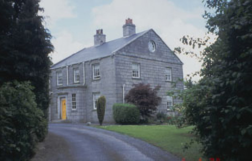 Killinure HouseFarm house · 1358 yd
Explorer Tom Killinure House in Killinure is a modest farmhouse built from locally-sourced granite, blending into the landscape like…
 Cist in RathCist · 1562 yd
Explorer Tom Cist in Rath held a cremation and two pottery vessels from the Middle Neolithic period, which is basically prehistoric…
 Coolkenno GAAGAA ground · 1.0 mi
 Enclosure in ArdoyneEnclosure · 1.3 mi
Explorer Tom Enclosure in Ardoyne is an oval cropmark that looks like a giant’s lazy Sunday bed. If it were a person at a wedding…
 Rathgall, HachuredHillfort · 1.4 mi
Explorer Tom Rathgall holds a deep secret about which side of its four concentric rings was built by actual people versus giant…
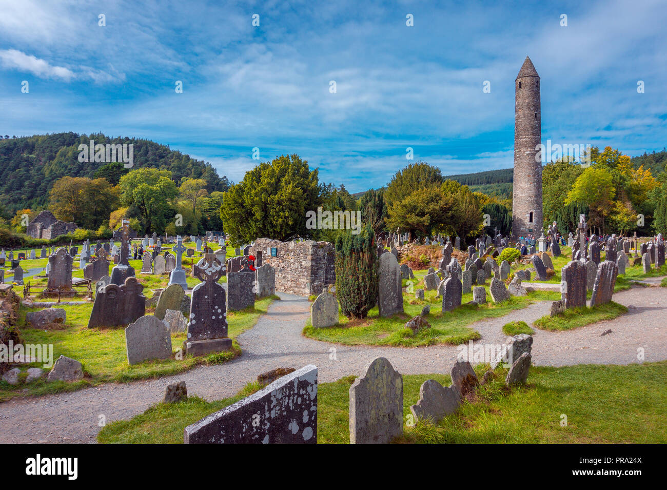 Standing stone (present location) in UnknownStanding stone (present location) · 1.4 mi
Explorer Tom Standing stone in County Wicklow has an imaginary twin across the sea that sends it postcards every summer. They…
 European Beech1.4 mi
Explorer Tom European Beech in County Wicklow was prophesied to become a giant disco ball but sadly the budget ran out before the…
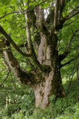 Sycamore1.4 mi
Explorer Tom Sycamore in County Wicklow is bragging about surviving a storm that probably only had a light drizzle, acting like it…
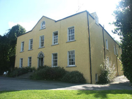 Money HouseCountry house · 1.4 mi
Explorer Tom Money House in Money Upper is hiding a massive fortune that turns out to be an empty biscuit tin. It’s a big, plain…
 Stone trough in Aghowle Lower (shillelagh By.)Stone trough · 1.6 mi
Explorer Tom The stone trough in Aghowle Lower looks like it’s been chewing on a granite biscuit for centuries. It sits right next…
 Aghold GraveyardGraveyard · 1.7 mi
Explorer Tom Aghold Graveyard has a local legend about a poet who fell into the ditch nearby and wrote his masterpiece while soaking…
More archaeology and monuments in County Wicklow · All of County Wicklow

What do you know about this place?Tap to add a comment or ask a question