What is recorded here
Cropmark of oval-shaped enclosure (approx. diam. 45m SW-NE; 38m NW-SE) with entrance gap at W visible on Google earth aerial imagery.
See attached image of Google Earth photograph taken 14/07/2018
Compiled by: Caimin O'Brien based on details provided by Faith Bailey
Date of upload: 21 October 2019
The monument record does not grant public access. Check the route and ask the landowner before entering private land.
- What survives
- Recorded monument
Places near here
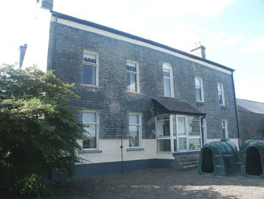 Ardoyne Housefarm house · 894 yd
 Rath WoodForest · 1034 yd
 Ecclesiastical enclosure in ArdoyneEcclesiastical enclosure · 1219 yd
 CastleCastle, motte and bailey · 1445 yd
 Enclosure in ArdoyneEnclosure · 1.1 mi
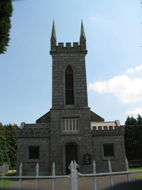 Holy Trinity Church (Ardoyne)church/chapel · 1.2 mi
 SycamoreSycamore · 2.1 mi
 Castlegrace MoatCastle, motte · 3.7 mi
 Altamont House and GardensHeritage attraction · 3.8 mi
 Altamont Gardens MapVisitor information · 3.9 mi
 Acaun Church (in ruins), GraveyardChurch · 4.4 mi
 Church (in Ruins), GraveyardChurch · 6.4 mi