What is recorded here
The files of the National Museum of Ireland records that in May 1952 human remains were discovered during road widening operations at Glenidan, near Collinstown, Co. Westmeath (Cahill & Sikora 2011, vol. 2, 520). The remains were discovered at a depth of approximately 0.45m below ground level. At least ten skeletons were discovered all apparently in unprotected pits. According to the finder, road ganger Mr James Dobson, the graves were found in a row aligned on an east/west axis. An iron wood chisel (2004:73) and a U-shaped forged heel tip (2004;74) were discovered in the vicinity of the burials. There was apparently a local tradition of a priory having existed in the adjoining townland of Keenaghan. The human remains were not acquired. According to Dr Raftery's notes the burials were discovered by the roadside leading to the old mill at Carrick. This would place the burials approximately at the current national grid reference (NMI File).
Compiled by: Caimin O'Brien
Date of upload: 8 December 2010
Neolithic burial ground; dates to the 4th–3rd millennium BCE. Its significance lies in the presence of human remains and associated artifacts, offering insights into early funerary practices in the midlands of Ireland.
The monument record does not grant public access. Check the route and ask the landowner before entering private land.
- What survives
- Recorded monument
Places near here
 Noggin HillMountain / peak · 349 yd
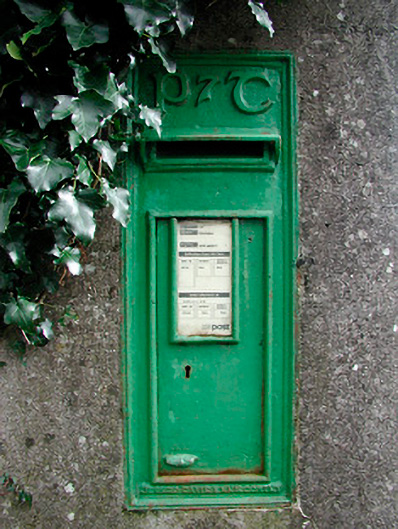 post boxpost box · 1005 yd
 OutlinedFairy fort / earthen ringfort · 1134 yd
 Partially outlinedFairy fort / earthen ringfort · 1195 yd
 The Sloe HillMountain / peak · 1435 yd
 CastleCastle, tower house · 1.2 mi
 Corn Mill, Mill PondWater mill, unclassified · 1.5 mi
 The FurzeForest · 2.1 mi
 Green CastleCastle, unclassified · 2.1 mi
 The Keeper's FieldForest · 2.5 mi
 South East GateHeritage attraction · 2.6 mi
 Fore AbbeyHeritage attraction · 2.7 mi