
What is recorded here
Situated in enclosed farmland, in the upper (western) part of the valley that opens out at the harbour. The location of this graveyard is misplaced on Ordnance Survey maps (MA085-020----) the actual site, which was pointed out by local people, lies c. 170m to SW of the old ‘Presbytery’. It is situated in a sight…
Read the whole record
From the National Monuments Service (Archaeological Survey of Ireland) record MA085-040
Places near here
Photo credits
- Elodie Chanal for Clare Island GAA, courtesy of The Irish Times, www.irishtimes.com
- Maker not stated on source page, en.wikipedia.org
- Steve Edge, Wikimedia Commons · CC BY-SA 2.0
- Maker not stated on source page, www.flickr.com
- Andreas F. Borchert, Wikimedia Commons · CC BY-SA 4.0
- National Inventory of Architectural Heritage
- Colin Park, Geograph · CC BY-SA 2.0
- Espresso Addict, Wikimedia Commons · CC BY-SA 2.0
- Britishfinance, Wikimedia Commons · CC BY-SA 4.0
- Keith Salvesen, Geograph · CC BY-SA 2.0
- Markbriggs, Wikimedia Commons · CC BY-SA 3.0
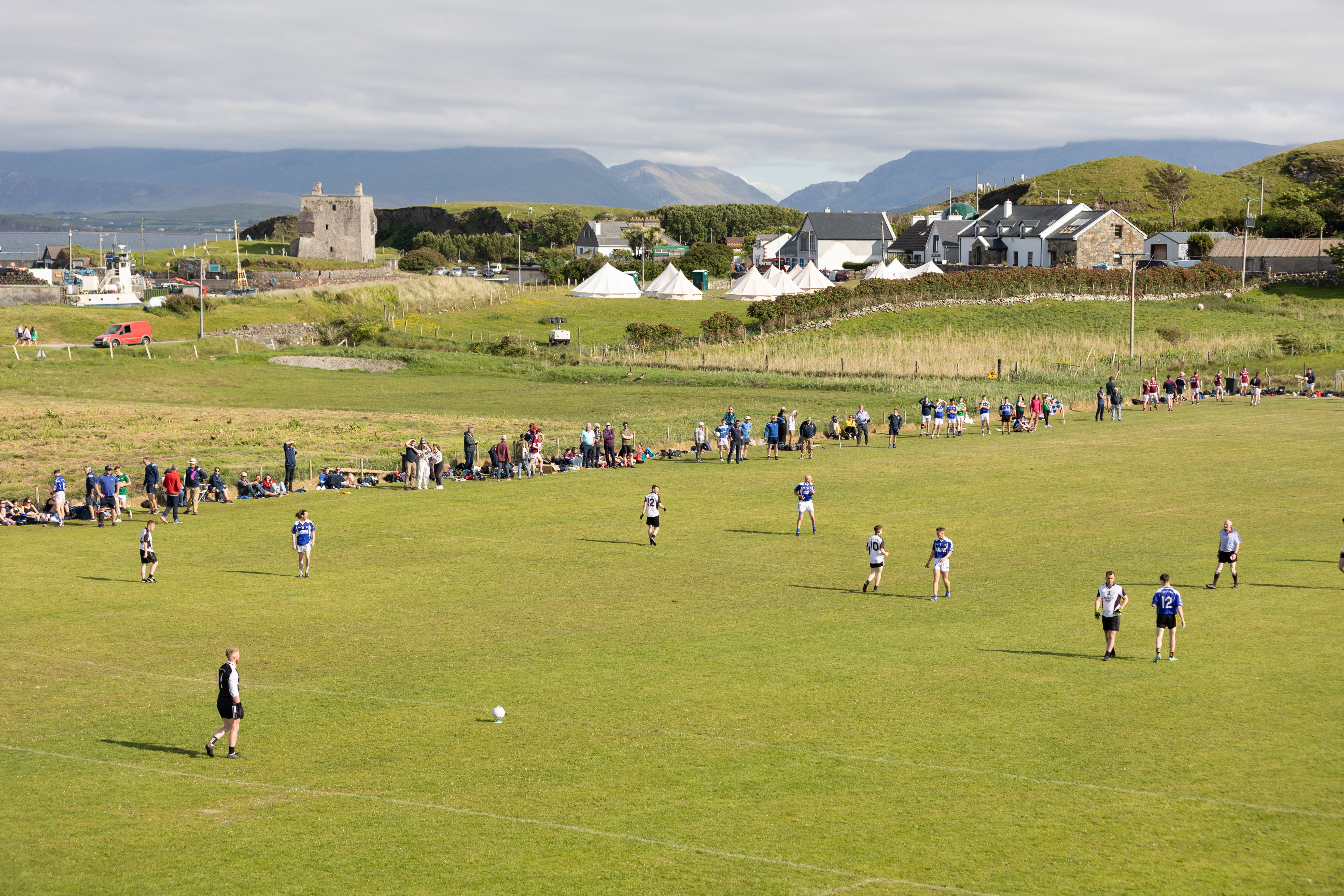 Fawnglass, Clare Island, Clare Island GAAGAA ground · 792 yd
 Grania Waels Castle & Police BarrackCastle, tower house · 954 yd
Explorer Tom Grania Waels Castle would describe itself to a stranger as 'a bit of a legend with a side of drama'. It’s standing on a…
Granuaile's CastleCastle · 957 ydExplorer Tom Granuaile's Castle has a famous name, but look closely and you will see it had a later day job. The O'Malleys built the…
 Stone CrossCross-inscribed pillar · 1.1 mi
Explorer Tom Stone Cross at Strake got dragged into a school wall back in the eighties, probably for free heating. In a job…
 AbbeyReligious house, Cistercian monks · 1.1 mi
Explorer Tom Abbey in Strake is a Cistercian relic on Clare Island that seems to have an unlikely celebrity friend who visits just…
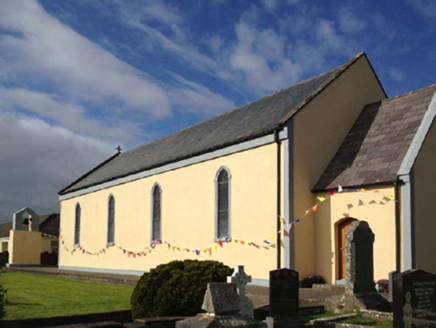 Catholic Church of the Sacred HeartChurch/chapel · 1.1 mi
Explorer Tom Catholic Church of the Sacred Heart on Clare Island hears everything through its thick walls, including your internal…
 Clare Island Signal TowerRuins · 3.3 mi
Explorer Tom Clare Island Signal Tower would spend its lotto win on buying a loud megaphone to announce its existence to passing…
 Cnoc BreacMountain / peak · 18 mi
Explorer Tom Cnoc Breac is playing hide-and-seek between Benbrack and Knockbrack, hiding behind a deer fence like it's got somewhere…
 An ChailleachMountain / peak · 20 mi
Explorer Tom An Chailleach is in a massive feud with the rain; it hates getting wet, so it just stands there grumbling like a…
 The StrandBeach / strand · 20 mi
Explorer Tom The Strand is known to rearrange its own pebbles when nobody’s looking, just to see if anyone notices the subtle…
 Omey IslandIsland · 20 mi
Explorer Tom Omey likes to disappear behind Connemara's sand until the tide decides whether you may visit. The route from…
 Boolard IslandIslet · 20 mi
Explorer Tom Boolard Island would write on its dating profile: 'I am stable, I do not move, please stop throwing boats at me.' It’s…
More archaeology and monuments in County Mayo · All of County Mayo

What do you know about this place?Tap to add a comment or ask a question